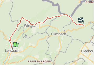

18,4 km | 26 km-effort

Tous les sentiers balisés d’Europe GUIDE+


Aplicación GPS de excursión GRATIS
 SityTrail
IGN / Institutos geográficos
SityTrail World
El mundo es suyo
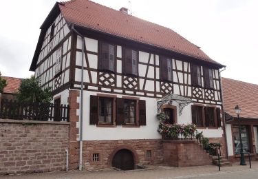
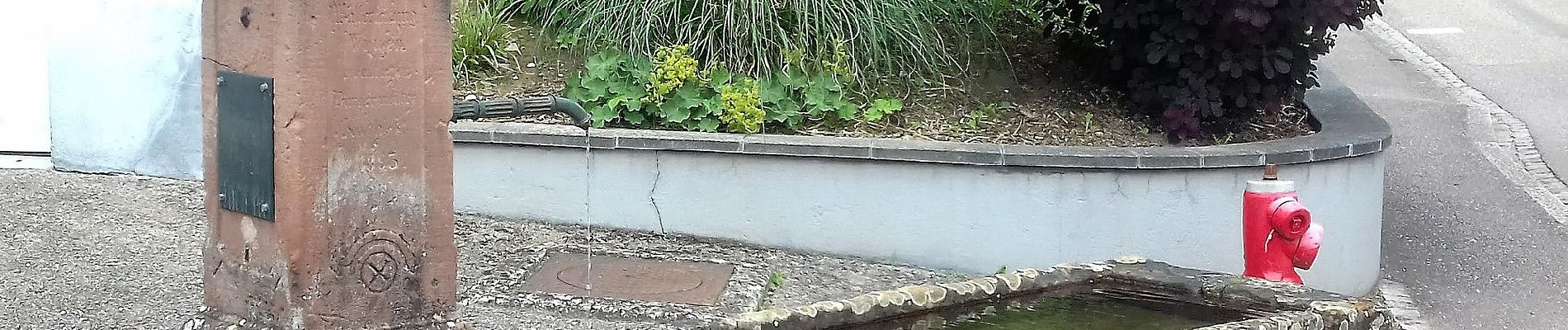
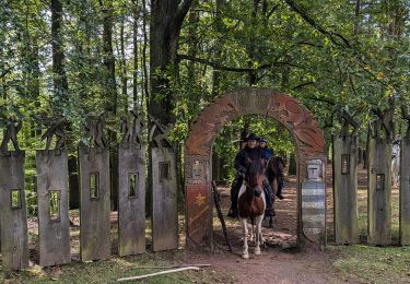
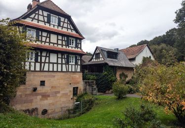
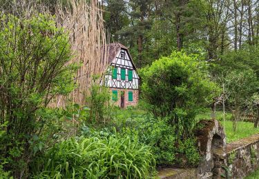
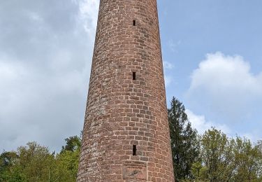
Ruta A pie de 11,8 km a descubrir en Gran Este, Bajo-Rin, Lembach. Esta ruta ha sido propuesta por SityTrail - itinéraires balisés pédestres.
Trail created by Club Vosgien.


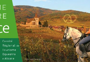
Paseo ecuestre

Senderismo

Bici de montaña
Paseo ecuestre
Paseo ecuestre

Paseo ecuestre
Paseo ecuestre
Paseo ecuestre