![](/images/other/stat-length.png)
![Excursión A pie Calw - Wasser-Wald- und Wiesenpfad - Photo](https://media.geolcdn.com/t/1900/400/ext.pjpeg?maxdim=2&url=https%3A%2F%2Fmedia.geolcdn.com%2Ff%2Fd114a79d-8e15-4ce7-b556-eda511969f6f.jpeg)
Wasser-Wald- und Wiesenpfad
SityTrail - itinéraires balisés pédestres
Tous les sentiers balisés d’Europe PRO
![Longitud](/images/other/stat-length.png)
Longitud
14,1 km
![Altitud máxima](https://static1.geolcdn.com/siteimages/upload/files/1508320355ic_sort_altitude_max_24dp.png)
Altitud máxima
621 m
![Desnivel positivo](https://static1.geolcdn.com/siteimages/upload/files/1508320355ic_sort_den_pos_24dp.png)
Desnivel positivo
429 m
![Km-Effort](/images/other/stat-length.png)
Km-Effort
19,8 km
![Altitud mínima](https://static1.geolcdn.com/siteimages/upload/files/1508320355ic_sort_altitude_min_24dp.png)
Altitud mínima
401 m
![Desnivel negativo](https://static1.geolcdn.com/siteimages/upload/files/1508320355ic_sort_den_neg_24dp.png)
Desnivel negativo
421 m
![Boucle](https://static1.geolcdn.com/siteimages/upload/files/16400158638029165_repeat_loop_refresh_sync_direction_icon.png)
Boucle
Sí
Baliza
Fecha de creación :
2022-02-11 20:01:46.916
Última modificación :
2022-02-11 20:01:46.916
![A pie](https://static1.geolcdn.com/sitytour/trail-icons/100.png)
4h30
Dificultad : Fácil
![Escanee este código QR para abrir la excursión en la aplicación SityTrail](https://capi.geolives.com/qq0zvz2zws4bq2lad0pu/sitytour/trails/3101325/qr.png?size=200)
Aplicación GPS de excursión GRATIS
A propósito
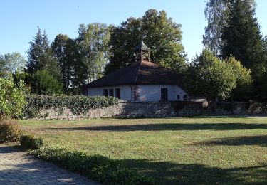
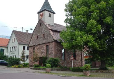
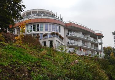
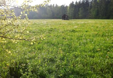
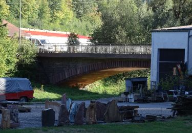
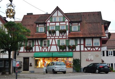
Ruta A pie de 14,1 km a descubrir en Baden-Wurtemberg, Landkreis Calw, Calw. Esta ruta ha sido propuesta por SityTrail - itinéraires balisés pédestres.
Descripción
Trail created by Große Kreisstadt Calw.
Symbol: https://www.calw.de/ceasy/resource/?id=4000&width=100&height=117
Localización
País:
Germany
Región :
Baden-Wurtemberg
Departamento/provincia :
Landkreis Calw
Municipio :
Calw
Localidad:
Unknown
Salida:(Dec)
Salida:(UTM)
480623 ; 5395483 (32U) N.
Comentarios
Excursiones cerca
![Excursión A pie Bad Teinach-Zavelstein - Alte Steige - Mittelbach - Photo](https://media.geolcdn.com/t/375/260/ext.jpg?maxdim=2&url=https%3A%2F%2Fmedia.geolcdn.com%2Ff%2Fdbc5db38-c3f1-4810-a6fa-f6469b071c4a.jpeg)
![A pie A pie](https://static1.geolcdn.com/sitytour/trail-icons/100.png)
Alte Steige - Mittelbach
A pie
Fácil
Bad Teinach-Zavelstein,
Baden-Wurtemberg,
Landkreis Calw,
Germany
![](/images/other/stat-length.png)
3 km | 3,9 km-effort
53min
![](https://static1.geolcdn.com/siteimages/upload/files/16400158638029165_repeat_loop_refresh_sync_direction_icon.png)
No
![Excursión A pie Calw - AugenBlick-Runde Bad Teinach (Zettelberg) - Photo](https://media.geolcdn.com/t/375/260/ext.jpg?maxdim=2&url=https%3A%2F%2Fmedia.geolcdn.com%2Ff%2Ffe108baf-5b91-4bb9-b7ec-3c8cc01cb402.jpeg)
![A pie A pie](https://static1.geolcdn.com/sitytour/trail-icons/100.png)
AugenBlick-Runde Bad Teinach (Zettelberg)
A pie
Fácil
Calw,
Baden-Wurtemberg,
Landkreis Calw,
Germany
![](/images/other/stat-length.png)
14,8 km | 19,8 km-effort
4h 29min
![](https://static1.geolcdn.com/siteimages/upload/files/16400158638029165_repeat_loop_refresh_sync_direction_icon.png)
Sí
![Excursión A pie Neubulach - Rastplatz Wasen - Minigolfplatz - Photo](https://media.geolcdn.com/t/375/260/ext.jpg?maxdim=2&url=https%3A%2F%2Fmedia.geolcdn.com%2Ff%2Fd0c55933-0975-4272-a6cf-44a8310fe04d.jpeg)
![A pie A pie](https://static1.geolcdn.com/sitytour/trail-icons/100.png)
Rastplatz Wasen - Minigolfplatz
A pie
Fácil
Neubulach,
Baden-Wurtemberg,
Landkreis Calw,
Germany
![](/images/other/stat-length.png)
3 km | 3,9 km-effort
53min
![](https://static1.geolcdn.com/siteimages/upload/files/16400158638029165_repeat_loop_refresh_sync_direction_icon.png)
No
![Excursión A pie Neubulach - Stelzen - Rastplatz Wasen - Photo](https://media.geolcdn.com/t/375/260/ext.jpg?maxdim=2&url=https%3A%2F%2Fmedia.geolcdn.com%2Ff%2Ff9d463a9-3d31-4027-9a22-3cae290de360.jpeg)
![A pie A pie](https://static1.geolcdn.com/sitytour/trail-icons/100.png)
Stelzen - Rastplatz Wasen
A pie
Fácil
Neubulach,
Baden-Wurtemberg,
Landkreis Calw,
Germany
![](/images/other/stat-length.png)
3,2 km | 4 km-effort
54min
![](https://static1.geolcdn.com/siteimages/upload/files/16400158638029165_repeat_loop_refresh_sync_direction_icon.png)
No
![Excursión A pie Althengstett - DE-SWV Gelbe Raute, Waldenserstein - Bronnbach - Photo](https://media.geolcdn.com/t/375/260/ext.jpg?maxdim=2&url=https%3A%2F%2Fmedia.geolcdn.com%2Ff%2Faed50c80-0f8f-4015-8717-4eb0fc2b1dbf.jpeg)
![A pie A pie](https://static1.geolcdn.com/sitytour/trail-icons/100.png)
DE-SWV Gelbe Raute, Waldenserstein - Bronnbach
A pie
Fácil
Althengstett,
Baden-Wurtemberg,
Landkreis Calw,
Germany
![](/images/other/stat-length.png)
3,4 km | 3,9 km-effort
53min
![](https://static1.geolcdn.com/siteimages/upload/files/16400158638029165_repeat_loop_refresh_sync_direction_icon.png)
No
![Excursión A pie Bad Teinach-Zavelstein - Der Teinacher - Photo](https://media.geolcdn.com/t/375/260/ext.jpg?maxdim=2&url=https%3A%2F%2Fmedia.geolcdn.com%2Ff%2Fb5d64962-c315-45a2-8517-5a03de85b82a.jpeg)
![A pie A pie](https://static1.geolcdn.com/sitytour/trail-icons/100.png)
Der Teinacher
A pie
Fácil
Bad Teinach-Zavelstein,
Baden-Wurtemberg,
Landkreis Calw,
Germany
![](/images/other/stat-length.png)
5,7 km | 8,9 km-effort
2h 1min
![](https://static1.geolcdn.com/siteimages/upload/files/16400158638029165_repeat_loop_refresh_sync_direction_icon.png)
No
![Excursión A pie Calw - Stammheim Freibad-Zavelsteiner Brückle - Photo](https://media.geolcdn.com/t/375/260/ext.jpg?maxdim=2&url=https%3A%2F%2Fmedia.geolcdn.com%2Ff%2Fd114a79d-8e15-4ce7-b556-eda511969f6f.jpeg)
![A pie A pie](https://static1.geolcdn.com/sitytour/trail-icons/100.png)
Stammheim Freibad-Zavelsteiner Brückle
A pie
Fácil
Calw,
Baden-Wurtemberg,
Landkreis Calw,
Germany
![](/images/other/stat-length.png)
5,6 km | 8,2 km-effort
1h 51min
![](https://static1.geolcdn.com/siteimages/upload/files/16400158638029165_repeat_loop_refresh_sync_direction_icon.png)
No
![Excursión A pie Calw - Station Teinach - Hof Dicke - Photo](https://media.geolcdn.com/t/375/260/ext.jpg?maxdim=2&url=https%3A%2F%2Fmedia.geolcdn.com%2Ff%2Fdfd2c832-2486-4624-b467-4ff8ba8364d9.jpeg)
![A pie A pie](https://static1.geolcdn.com/sitytour/trail-icons/100.png)
Station Teinach - Hof Dicke
A pie
Fácil
Calw,
Baden-Wurtemberg,
Landkreis Calw,
Germany
![](/images/other/stat-length.png)
3,2 km | 5,1 km-effort
1h 9min
![](https://static1.geolcdn.com/siteimages/upload/files/16400158638029165_repeat_loop_refresh_sync_direction_icon.png)
No
![Excursión A pie Bad Teinach-Zavelstein - Krokusweg - Photo](https://media.geolcdn.com/t/375/260/ext.jpg?maxdim=2&url=https%3A%2F%2Fmedia.geolcdn.com%2Ff%2Fed9ddac0-e2b7-4193-bb85-3696902c6c72.jpeg)
![A pie A pie](https://static1.geolcdn.com/sitytour/trail-icons/100.png)
Krokusweg
A pie
Fácil
Bad Teinach-Zavelstein,
Baden-Wurtemberg,
Landkreis Calw,
Germany
![](/images/other/stat-length.png)
3,8 km | 5,2 km-effort
1h 10min
![](https://static1.geolcdn.com/siteimages/upload/files/16400158638029165_repeat_loop_refresh_sync_direction_icon.png)
Sí