


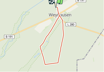

18,6 km | 21 km-effort

Tous les sentiers balisés d’Europe GUIDE+


Aplicación GPS de excursión GRATIS
 SityTrail
IGN / Institutos geográficos
SityTrail World
El mundo es suyo
Ruta A pie de 5,6 km a descubrir en Baja Sajonia, Landkreis Celle, Eschede. Esta ruta ha sido propuesta por SityTrail - itinéraires balisés pédestres.
Die Wanderung führt durch ausgedehnte Nadelwälder der Südheide, die mit ihrem Kieferbestand an Skandinavien erinnern.
Sitio web: https://www.lueneburger-heide.de/9206
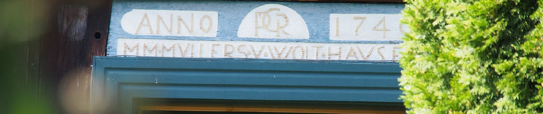
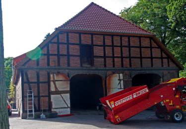
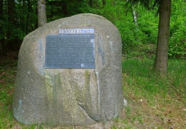
 - Photo 1")
 - Photo 2")
 - Photo 3")
 - Photo 4")
 - Photo 5")
 - Photo 6")
 - Photo 7")
A pie

A pie

A pie
A pie
A pie
A pie
A pie