


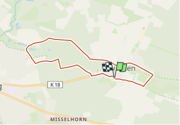

8,8 km | 10 km-effort

Tous les sentiers balisés d’Europe GUIDE+


Aplicación GPS de excursión GRATIS
 SityTrail
IGN / Institutos geográficos
SityTrail World
El mundo es suyo
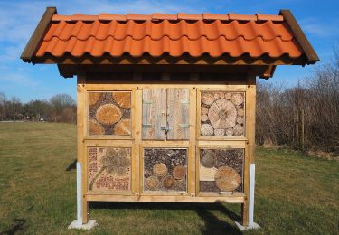
Ruta A pie de 6,9 km a descubrir en Baja Sajonia, Landkreis Celle, Südheide. Esta ruta ha sido propuesta por SityTrail - itinéraires balisés pédestres.
Die Wanderungen des W6 "In einem Bächlein helle" führen in die Niederung des Weesener Baches.
Sitio web: https://www.lueneburger-heide.de/9153
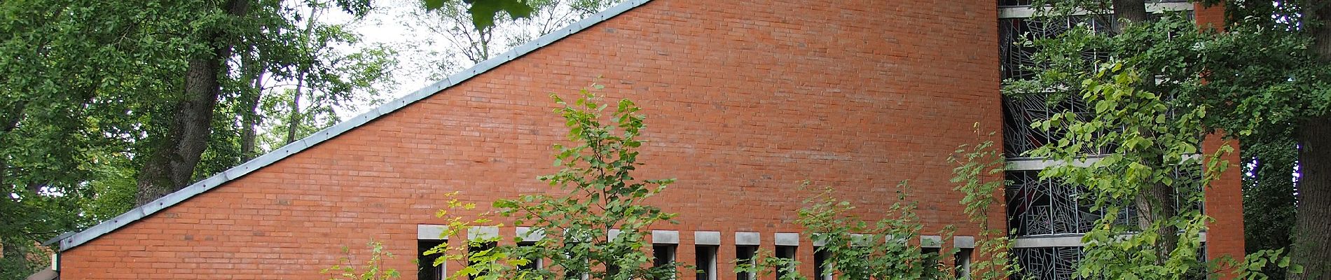
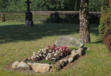
 - Photo 1")
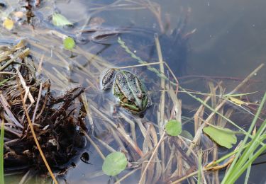
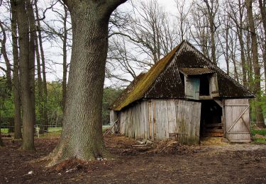
 - Photo 2")
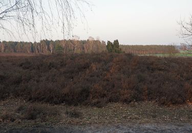
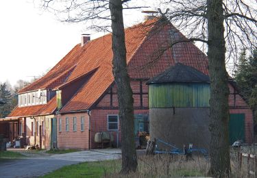
 - Photo 3")
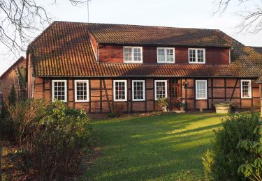
 - Photo 4")
 - Photo 5")
 - Photo 6")
 - Photo 7")
 - Photo 8")
 - Photo 9")
 - Photo 10")
A pie
A pie
A pie
A pie
A pie
A pie
A pie
A pie
A pie