


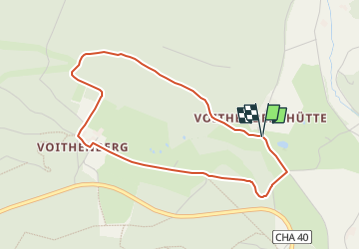

19 km | 26 km-effort

Tous les sentiers balisés d’Europe GUIDE+


Aplicación GPS de excursión GRATIS
 SityTrail
IGN / Institutos geográficos
SityTrail World
El mundo es suyo
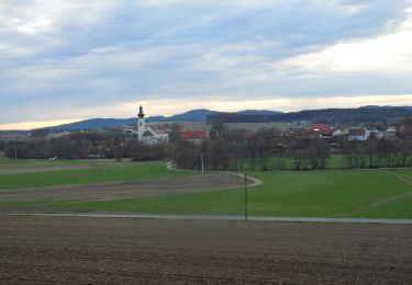
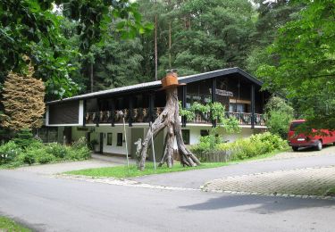
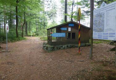
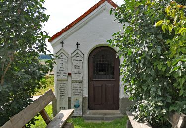
Ruta A pie de 3,8 km a descubrir en Baviera, Landkreis Cham, Furth im Wald. Esta ruta ha sido propuesta por SityTrail - itinéraires balisés pédestres.
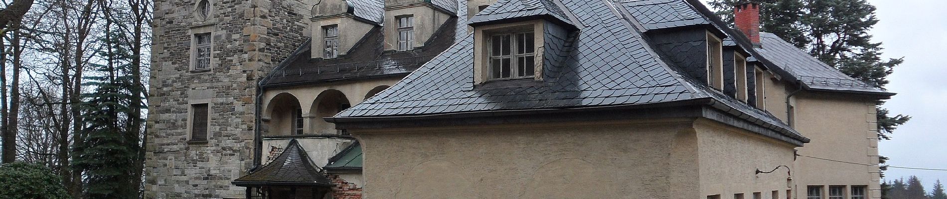
Trail created by ARGE Further Wanderwege ??.
Symbol: Schwarze Wegnummer im weißen Bereich des oben weißen / unten roten, rechteckigen Hintergrunds
 - Photo 1")

A pie
A pie
A pie
A pie
A pie
A pie
A pie
A pie
A pie