


6,1 km | 9,6 km-effort

Tous les sentiers balisés d’Europe PRO


Aplicación GPS de excursión GRATIS
 SityTrail
IGN / Institutos geográficos
SityTrail World
El mundo es suyo
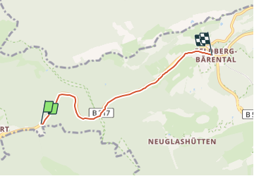
Ruta A pie de 4,2 km a descubrir en Baden-Wurtemberg, Landkreis Breisgau-Hochschwarzwald, Feldberg. Esta ruta ha sido propuesta por SityTrail - itinéraires balisés pédestres.
Trail created by Schwarzwaldverein e.V..
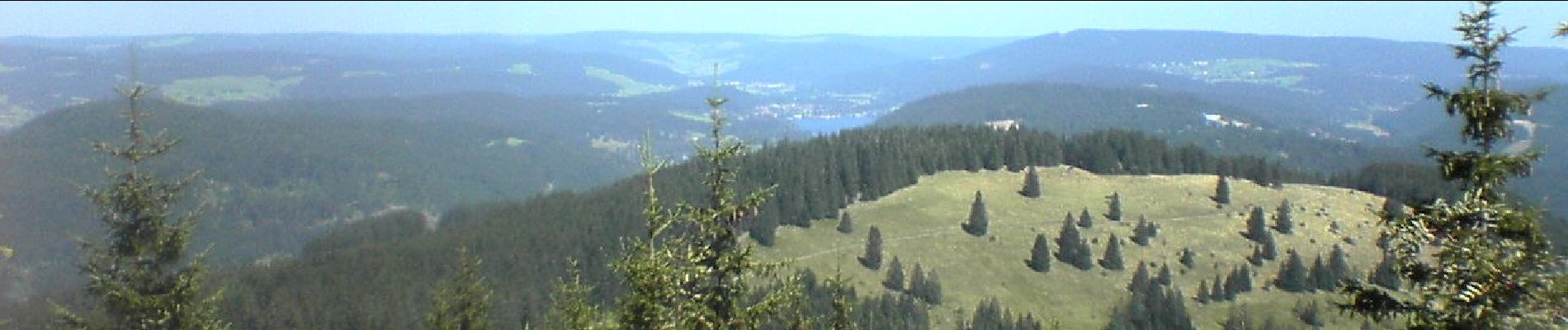
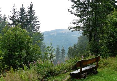
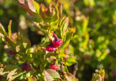
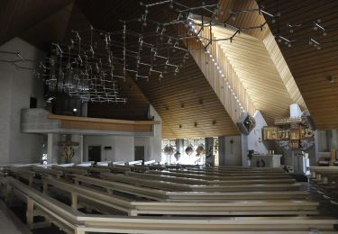
 - Kohlplatz - Bärental - Photo 1")
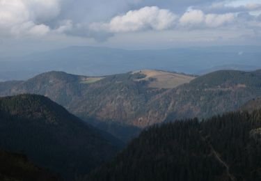
 - Kohlplatz - Bärental - Photo 2")
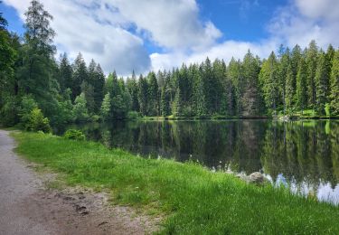
 - Kohlplatz - Bärental - Photo 3")
 - Kohlplatz - Bärental - Photo 4")
 - Kohlplatz - Bärental - Photo 5")
 - Kohlplatz - Bärental - Photo 6")
 - Kohlplatz - Bärental - Photo 7")
 - Kohlplatz - Bärental - Photo 8")
 - Kohlplatz - Bärental - Photo 9")
 - Kohlplatz - Bärental - Photo 10")
A pie
A pie
A pie
A pie
Senderismo

A pie

Senderismo
Senderismo
Senderismo