


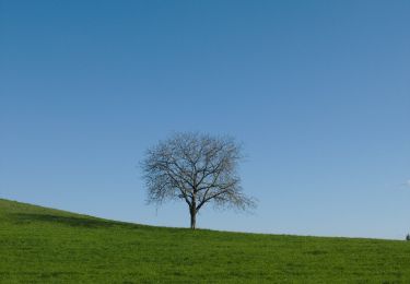
5,6 km | 6,5 km-effort

Tous les sentiers balisés d’Europe GUIDE+


Aplicación GPS de excursión GRATIS
 SityTrail
IGN / Institutos geográficos
SityTrail World
El mundo es suyo
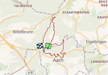
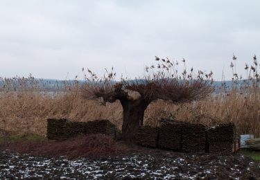
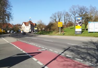
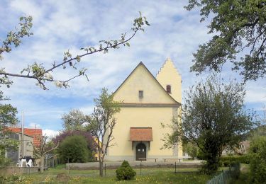
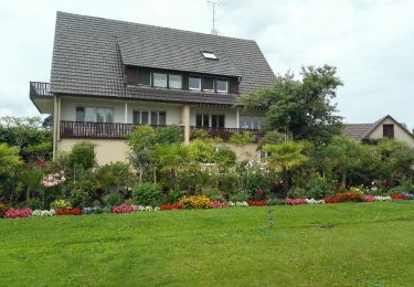
Ruta A pie de 13,7 km a descubrir en Baden-Wurtemberg, Landkreis Konstanz, Aach. Esta ruta ha sido propuesta por SityTrail - itinéraires balisés pédestres.
Trail created by Hegau Tourismus e.V..
Symbol: stilisierte Hegaugipfel (gelb/blau/pink/grün) auf weißem Grund
Sitio web: https://www.hegau.de/Das_Kegelspiel.280.html


A pie
A pie
A pie
A pie
A pie
A pie
A pie
Bicicleta

A pie