


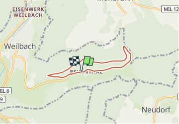

5 km | 6,5 km-effort

Tous les sentiers balisés d’Europe GUIDE+


Aplicación GPS de excursión GRATIS
 SityTrail
IGN / Institutos geográficos
SityTrail World
El mundo es suyo
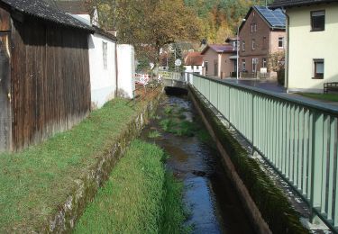
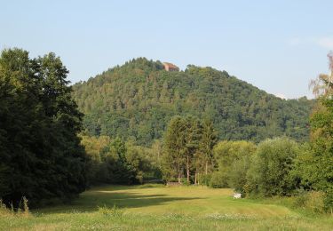
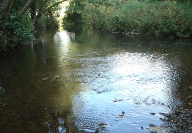
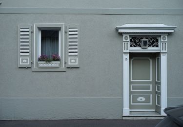
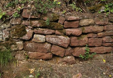
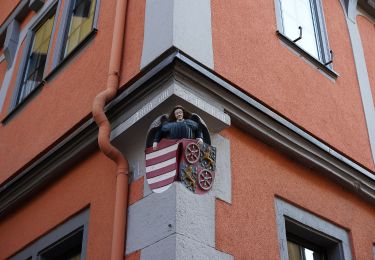
Ruta A pie de 5 km a descubrir en Baviera, Landkreis Miltenberg, Weilbach. Esta ruta ha sido propuesta por SityTrail - itinéraires balisés pédestres.
Trail created by Geo-Naturpark Bergstraße-Odenwald.
Symbol: Gelbe 1 in einem gelben Kreis


A pie
A pie
A pie
A pie

A pie
A pie
A pie
A pie
A pie