![](/images/other/stat-length.png)
![Excursión A pie Gehrweiler - Rundwanderweg Rockenhausen: Vier-Bäche-Weg - Photo](https://media.geolcdn.com/t/1900/400/bfb639af-8df0-4a5d-84c0-b25fb89d6fc2.jpeg&format=pjpeg&maxdim=2)
Rundwanderweg Rockenhausen: Vier-Bäche-Weg
SityTrail - itinéraires balisés pédestres
Tous les sentiers balisés d’Europe GUIDE+
![Longitud](/images/other/stat-length.png)
![Altitud máxima](https://static1.geolcdn.com/siteimages/upload/files/1508320355ic_sort_altitude_max_24dp.png)
![Desnivel positivo](https://static1.geolcdn.com/siteimages/upload/files/1508320355ic_sort_den_pos_24dp.png)
![Km-Effort](/images/other/stat-length.png)
![Altitud mínima](https://static1.geolcdn.com/siteimages/upload/files/1508320355ic_sort_altitude_min_24dp.png)
![Desnivel negativo](https://static1.geolcdn.com/siteimages/upload/files/1508320355ic_sort_den_neg_24dp.png)
![Boucle](https://static1.geolcdn.com/siteimages/upload/files/16400158638029165_repeat_loop_refresh_sync_direction_icon.png)
![A pie](https://static1.geolcdn.com/sitytour/trail-icons/100.png)
5h30
Dificultad : Medio
![Escanee este código QR para abrir la excursión en la aplicación SityTrail](https://capi.geolives.com/qq0zvz2zws4bq2lad0pu/sitytour/trails/3099920/qr.png?size=200)
Aplicación GPS de excursión GRATIS
A propósito
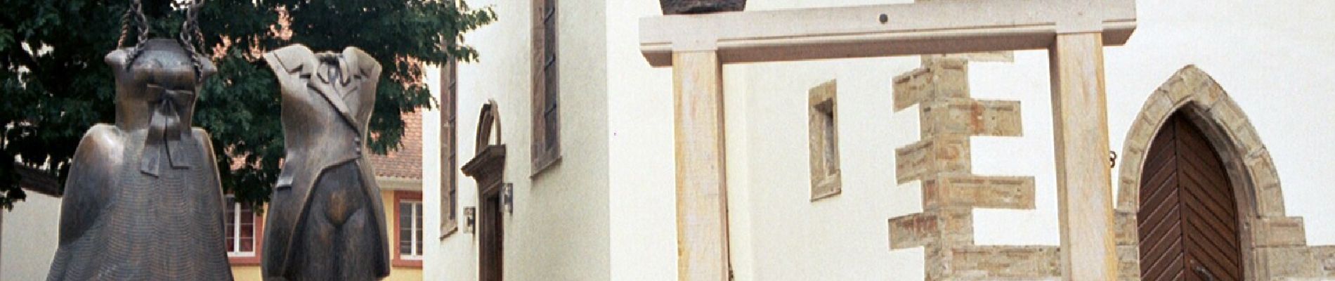
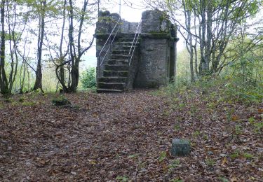
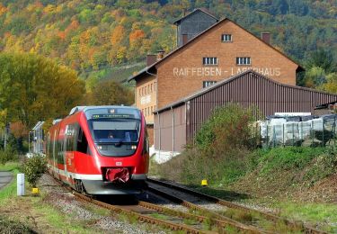
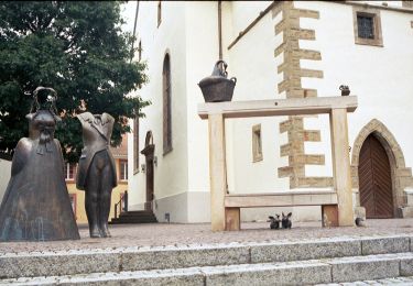
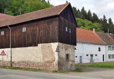
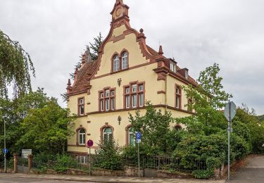
Ruta A pie de 17,6 km a descubrir en Renania-Palatinado, Donnersbergkreis, Gehrweiler. Esta ruta ha sido propuesta por SityTrail - itinéraires balisés pédestres.
Descripción
Trail created by Verbandsgemeinde Nordpfälzer Land.
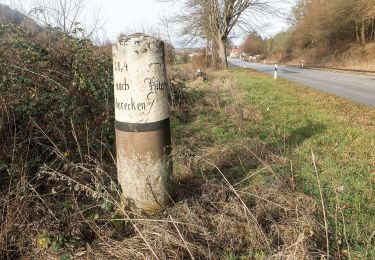
Wanderweg ist noch nicht komplett markiert, im Frühjahr 2018 soll die Markierung abgeschlossen sein.
Symbol: Stilisiertes türkisfarbenes R mit roten Punkt rechts unten, darunter ein gelber Strich
Localización
Comentarios
Excursiones cerca
![Excursión A pie - Wanderweg Erfenach 4, Rund um den Maienberg - Photo](https://media.geolcdn.com/t/375/260/ca6e4dd2-da62-4ca4-9bf9-cdb07d398274.jpeg&format=jpg&maxdim=2)
![A pie A pie](https://static1.geolcdn.com/sitytour/trail-icons/100.png)
A pie
![](/images/other/stat-length.png)
![](https://static1.geolcdn.com/siteimages/upload/files/16400158638029165_repeat_loop_refresh_sync_direction_icon.png)
![Excursión A pie Wolfstein - Ritschelbusch-Runde - Photo](https://media.geolcdn.com/t/375/260/3d91b98d-4fd8-4308-ad9b-757452b44742.jpeg&format=jpg&maxdim=2)
![A pie A pie](https://static1.geolcdn.com/sitytour/trail-icons/100.png)
A pie
![](/images/other/stat-length.png)
![](https://static1.geolcdn.com/siteimages/upload/files/16400158638029165_repeat_loop_refresh_sync_direction_icon.png)
![Excursión A pie Wolfstein - Leienbergweg - Photo](https://media.geolcdn.com/t/375/260/ce90c7f6-de24-4760-bcca-e1d6978c6d1e.jpeg&format=jpg&maxdim=2)
![A pie A pie](https://static1.geolcdn.com/sitytour/trail-icons/100.png)
A pie
![](/images/other/stat-length.png)
![](https://static1.geolcdn.com/siteimages/upload/files/16400158638029165_repeat_loop_refresh_sync_direction_icon.png)
![Excursión A pie Rockenhausen - Rundwanderweg Rockenhausen: Rund um den Wachthübel - Photo](https://media.geolcdn.com/t/375/260/bfb639af-8df0-4a5d-84c0-b25fb89d6fc2.jpeg&format=jpg&maxdim=2)
![A pie A pie](https://static1.geolcdn.com/sitytour/trail-icons/100.png)
A pie
![](/images/other/stat-length.png)
![](https://static1.geolcdn.com/siteimages/upload/files/16400158638029165_repeat_loop_refresh_sync_direction_icon.png)
![Excursión A pie Wolfstein - Königsbachweg - Photo](https://media.geolcdn.com/t/375/260/b9983b84-90ea-4278-aa04-69859a0939dd.jpeg&format=jpg&maxdim=2)
![A pie A pie](https://static1.geolcdn.com/sitytour/trail-icons/100.png)
A pie
![](/images/other/stat-length.png)
![](https://static1.geolcdn.com/siteimages/upload/files/16400158638029165_repeat_loop_refresh_sync_direction_icon.png)
![Excursión A pie Landstuhl - Rundwanderweg Landstuhl L2 - Photo](https://media.geolcdn.com/t/375/260/2511714c-70de-4e20-8e55-dc2f85ee70e4.jpeg&format=jpg&maxdim=2)
![A pie A pie](https://static1.geolcdn.com/sitytour/trail-icons/100.png)
A pie
![](/images/other/stat-length.png)
![](https://static1.geolcdn.com/siteimages/upload/files/16400158638029165_repeat_loop_refresh_sync_direction_icon.png)
![Excursión A pie Ramsen - Parkplatz Carlsberg Rundwanderweg 5 - Photo](https://media.geolcdn.com/t/375/260/1aeab8b9-d8be-4ba2-99d8-429c472632d6.jpeg&format=jpg&maxdim=2)
![A pie A pie](https://static1.geolcdn.com/sitytour/trail-icons/100.png)
A pie
![](/images/other/stat-length.png)
![](https://static1.geolcdn.com/siteimages/upload/files/16400158638029165_repeat_loop_refresh_sync_direction_icon.png)
![Excursión A pie Kirchheimbolanden - Kirchheim-Bolanden Rundwanderweg Nr. 5 - Photo](https://media.geolcdn.com/t/375/260/265b2cb2-0b4e-4ed7-a29b-9db27c5a6564.jpeg&format=jpg&maxdim=2)
![A pie A pie](https://static1.geolcdn.com/sitytour/trail-icons/100.png)
A pie
![](/images/other/stat-length.png)
![](https://static1.geolcdn.com/siteimages/upload/files/16400158638029165_repeat_loop_refresh_sync_direction_icon.png)
![Excursión A pie Kirchheimbolanden - Kirchheim-Bolanden Rundwanderweg Nr. 3 - Photo](https://media.geolcdn.com/t/375/260/83e2bda9-0a3b-4451-9e37-b4145edeec42.jpeg&format=jpg&maxdim=2)
![A pie A pie](https://static1.geolcdn.com/sitytour/trail-icons/100.png)
A pie
![](/images/other/stat-length.png)
![](https://static1.geolcdn.com/siteimages/upload/files/16400158638029165_repeat_loop_refresh_sync_direction_icon.png)