


10,2 km | 13,1 km-effort

Tous les sentiers balisés d’Europe GUIDE+


Aplicación GPS de excursión GRATIS
 SityTrail
IGN / Institutos geográficos
SityTrail World
El mundo es suyo
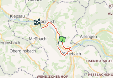
Ruta A pie de 6,5 km a descubrir en Baden-Wurtemberg, Hohenlohekreis, Dörzbach. Esta ruta ha sido propuesta por SityTrail - itinéraires balisés pédestres.
Trail created by Gemeinde Dörzbach.
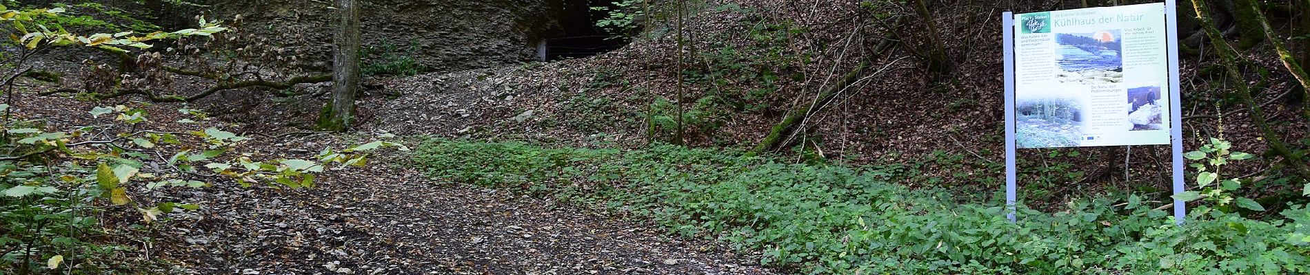
Es gibt im Landkreis vier 'Pfade der Stille', siehe Website. Dieser hier ist als einziger ein Rundwanderweg, die anderen sind als Radtouren gedacht.
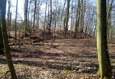
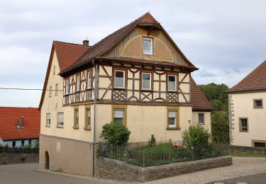
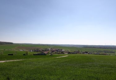
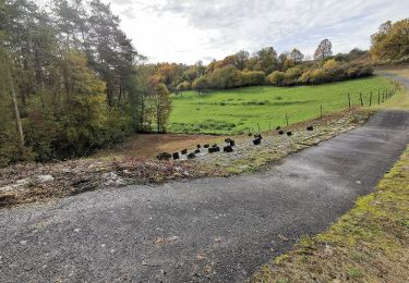
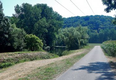
 - Photo 1")
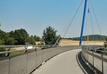
 - Photo 2")
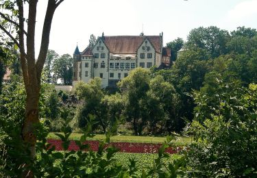
 - Photo 3")
 - Photo 4")
 - Photo 5")
 - Photo 6")
 - Photo 7")
 - Photo 8")
 - Photo 9")
 - Photo 10")
A pie
A pie
A pie
A pie
A pie
A pie
A pie
A pie
A pie