


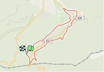

6,8 km | 9,2 km-effort

Tous les sentiers balisés d’Europe GUIDE+


Aplicación GPS de excursión GRATIS
 SityTrail
IGN / Institutos geográficos
SityTrail World
El mundo es suyo
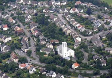
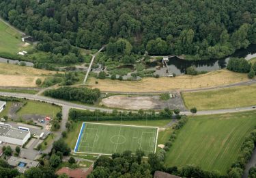
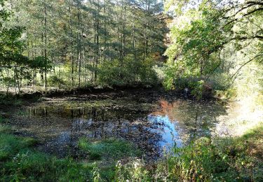
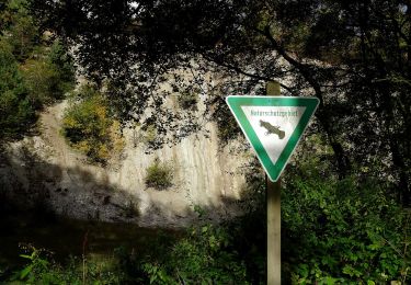
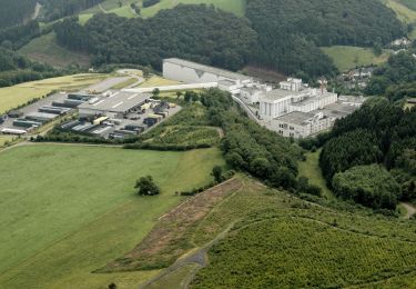
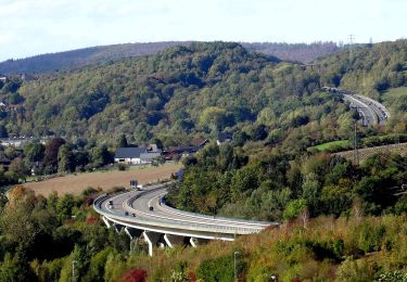
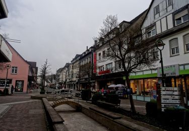
Ruta A pie de 7,7 km a descubrir en Renania del Norte-Westfalia, Hochsauerlandkreis, Arnsberg. Esta ruta ha sido propuesta por SityTrail - itinéraires balisés pédestres.
Trail created by Sauerländischer Gebirgsverein (SGV).
Wegführung kann etwas anders verlaufen, ggf. bitte korrigiren


A pie
A pie
A pie
A pie
A pie
A pie
A pie
A pie
A pie