


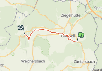

7,8 km | 9,8 km-effort

Tous les sentiers balisés d’Europe GUIDE+


Aplicación GPS de excursión GRATIS
 SityTrail
IGN / Institutos geográficos
SityTrail World
El mundo es suyo
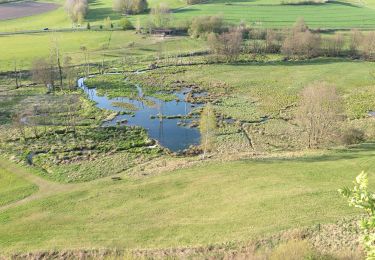
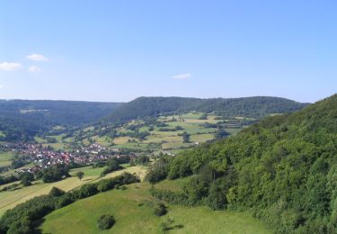
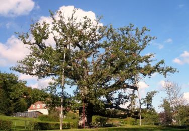
Ruta A pie de 6,4 km a descubrir en Hesse, Main-Kinzig-Kreis, Sinntal. Esta ruta ha sido propuesta por SityTrail - itinéraires balisés pédestres.
Trail created by Rhönklub.
Symbol: Gelber Keil auf weißem Hintergrund
Sitio web: http://www.naturerlebnis-rhoen.de/wanderwege/rhoenklub/nebenwanderwege/ulrich-v-hutten-pfad.php


A pie
A pie
A pie
A pie
A pie
A pie
A pie
A pie
A pie