


6,9 km | 9 km-effort

Tous les sentiers balisés d’Europe GUIDE+


Aplicación GPS de excursión GRATIS
 SityTrail
IGN / Institutos geográficos
SityTrail World
El mundo es suyo
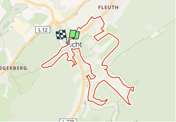
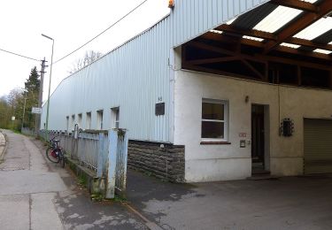
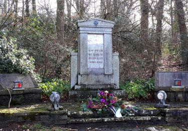
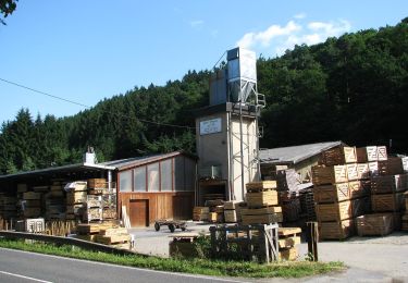
Ruta A pie de 12,7 km a descubrir en Renania del Norte-Westfalia, Städteregion Aachen, Stolberg. Esta ruta ha sido propuesta por SityTrail - itinéraires balisés pédestres.
Trail created by IG Schönes Vicht.
Symbol: brauner Rahmen auf weißem Hintergrund, Lehmjöresfigur, mit umlaufender Beschriftung -Rund Um Vicht-
Sitio web: http://lehmjoeresweg.schoenes-vicht.de/


A pie
A pie
A pie
A pie
A pie

A pie

Motor
Motor

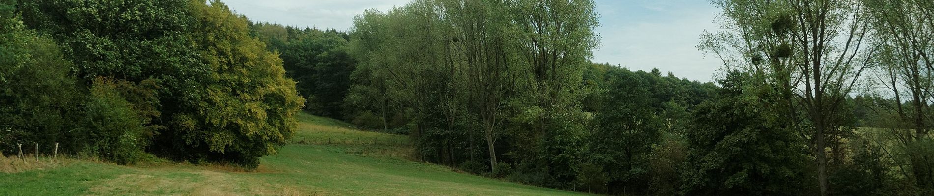
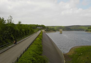
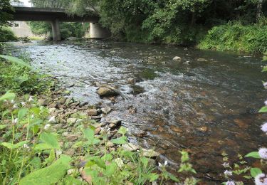
Senderismo