


30 km | 40 km-effort

Tous les sentiers balisés d’Europe GUIDE+


Aplicación GPS de excursión GRATIS
 SityTrail
IGN / Institutos geográficos
SityTrail World
El mundo es suyo
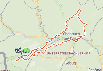
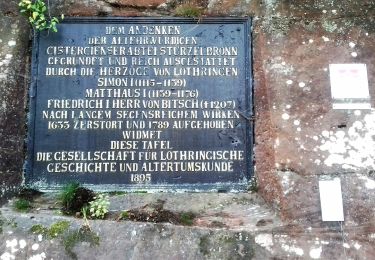
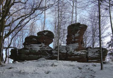
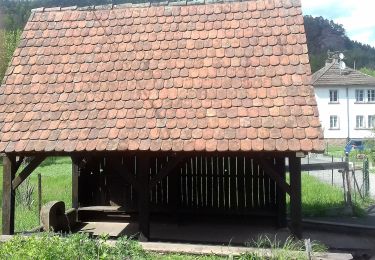
Ruta A pie de 20 km a descubrir en Renania-Palatinado, Südwestpfalz, Ludwigswinkel. Esta ruta ha sido propuesta por SityTrail - itinéraires balisés pédestres.
Trail created by Tourist Information Dahner Felsenland.
Symbol: lila stilisierter Fisch unterhalb zweier Berge auf orangem Grund mit verschnörkelter lila Unterschrift "Wasgau SeenTour"


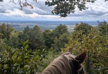
Paseo ecuestre
Paseo ecuestre

Paseo ecuestre
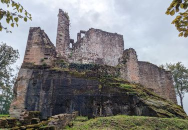
A pie
A pie
A pie
A pie

A pie

A pie