


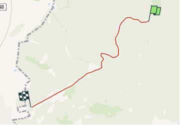

27 km | 37 km-effort


Tous les sentiers balisés d’Europe GUIDE+


Aplicación GPS de excursión GRATIS
 SityTrail
IGN / Institutos geográficos
SityTrail World
El mundo es suyo
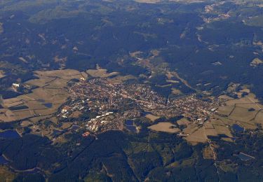
Ruta A pie de 4,3 km a descubrir en Baja Sajonia, Landkreis Goslar, Harz (LK Goslar). Esta ruta ha sido propuesta por SityTrail - itinéraires balisés pédestres.
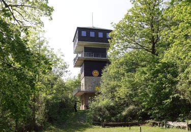
Symbol: roter Kreis mit Dreieck Nr. 1
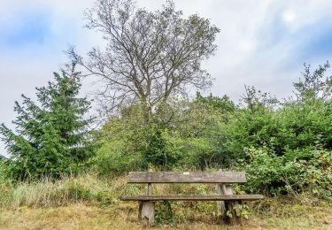
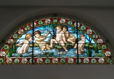
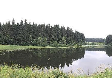
 - Rundwanderweg 1 - Photo 1")
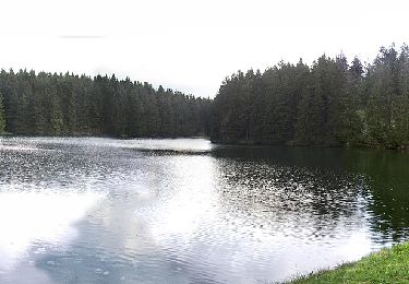
 - Rundwanderweg 1 - Photo 2")
 - Rundwanderweg 1 - Photo 3")
 - Rundwanderweg 1 - Photo 4")
 - Rundwanderweg 1 - Photo 5")
 - Rundwanderweg 1 - Photo 6")
A pie
A pie
A pie
A pie

A pie
A pie
A pie
A pie
A pie