


5,1 km | 5,8 km-effort

Tous les sentiers balisés d’Europe GUIDE+


Aplicación GPS de excursión GRATIS
 SityTrail
IGN / Institutos geográficos
SityTrail World
El mundo es suyo
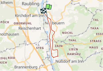
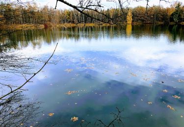
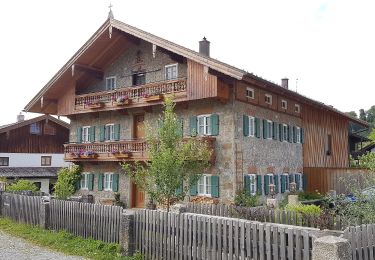
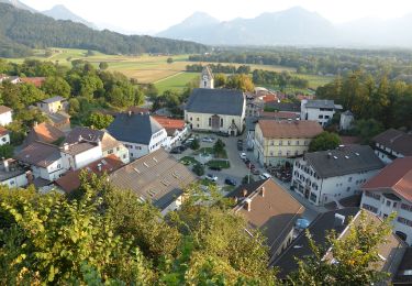
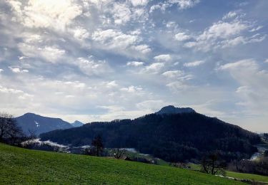
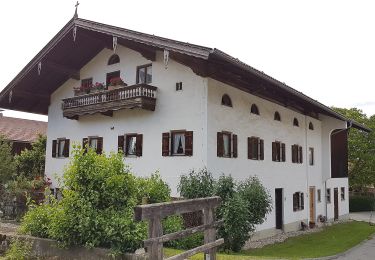
Ruta A pie de 9,2 km a descubrir en Baviera, Landkreis Rosenheim, Neubeuern. Esta ruta ha sido propuesta por SityTrail - itinéraires balisés pédestres.
Symbol: Weiße Schilder mit einem schwarzen Wanderer mit Stöcken und der Aufschrift "Route 2"


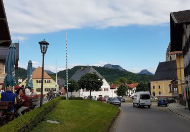
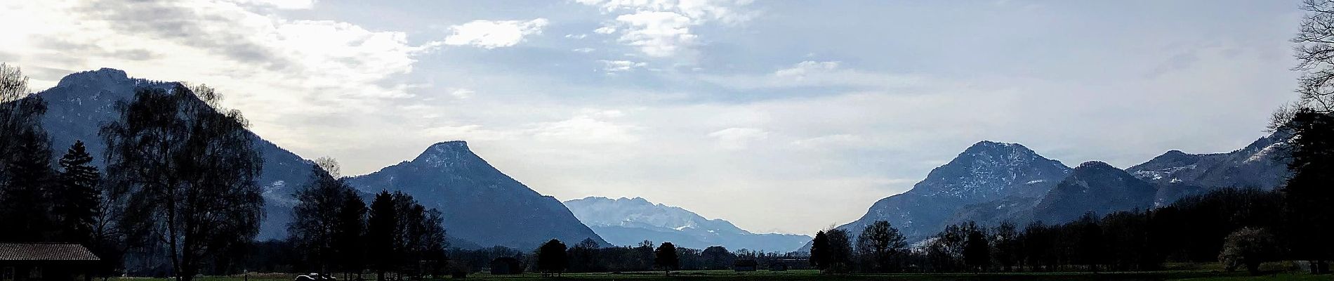
A pie
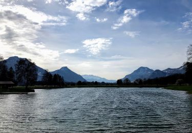
A pie
A pie
A pie
A pie

A pie

A pie
A pie
A pie