


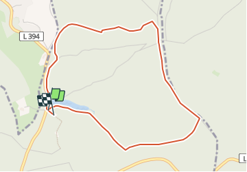

11,1 km | 13,8 km-effort

Tous les sentiers balisés d’Europe GUIDE+


Aplicación GPS de excursión GRATIS
 SityTrail
IGN / Institutos geográficos
SityTrail World
El mundo es suyo
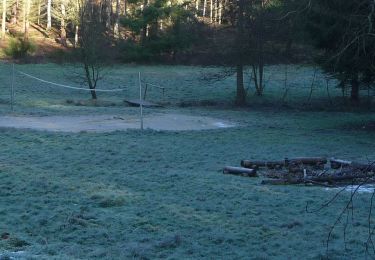
Ruta A pie de 4,4 km a descubrir en Renania-Palatinado, Landkreis Kaiserslautern, Enkenbach-Alsenborn. Esta ruta ha sido propuesta por SityTrail - itinéraires balisés pédestres.
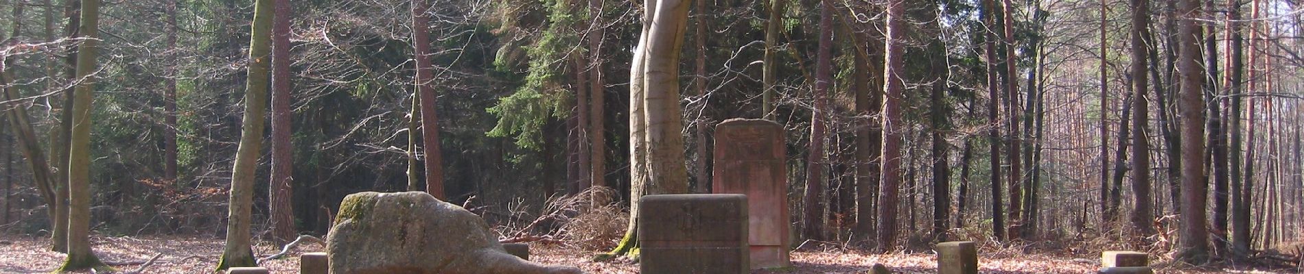
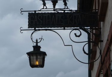
Trail created by Bezirksverband Pfalz (vormals Naturpark Pfälzerwald e.V., Lambrecht).
Symbol: Schwarze 3 auf weißem Punkt

A pie
A pie
A pie
A pie
A pie

A pie
A pie
A pie
A pie