


3,6 km | 4,5 km-effort

Tous les sentiers balisés d’Europe GUIDE+


Aplicación GPS de excursión GRATIS
 SityTrail
IGN / Institutos geográficos
SityTrail World
El mundo es suyo
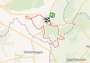
Ruta A pie de 13,3 km a descubrir en Renania del Norte-Westfalia, Kreis Paderborn, Paderborn. Esta ruta ha sido propuesta por SityTrail - itinéraires balisés pédestres.
Sonnige Runde vom Ellerbachtal auf die Paderborner Hochfläche
Sitio web: http://www.paderborner-karstrundweg.de


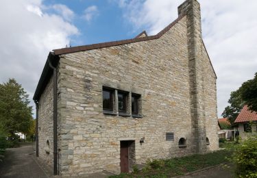
A pie

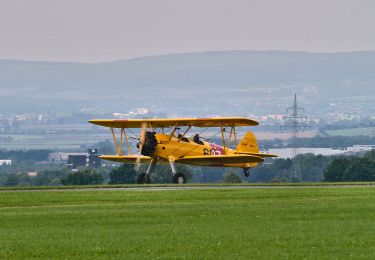
A pie
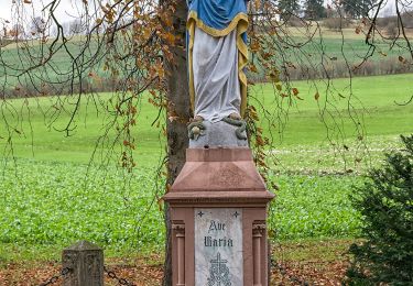
A pie
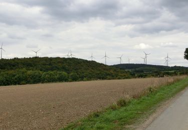
A pie
![Excursión A pie Altenbeken - Rundwanderweg A2 [Dune] - Photo](https://media.geolcdn.com/t/375/260/f67a66a4-5038-45ed-847b-184bff3ced0b.jpeg&format=jpg&maxdim=2)
A pie
A pie
A pie
A pie
A pie