


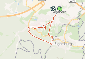

9,6 km | 14,2 km-effort

Tous les sentiers balisés d’Europe GUIDE+


Aplicación GPS de excursión GRATIS
 SityTrail
IGN / Institutos geográficos
SityTrail World
El mundo es suyo
Ruta A pie de 6 km a descubrir en Turingia, Ilm-Kreis, Geratal. Esta ruta ha sido propuesta por SityTrail - itinéraires balisés pédestres.
Trail created by Gemeinde Geraberg.
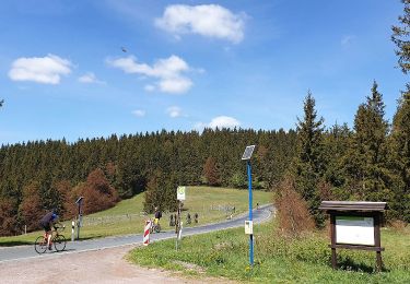
Entlang des Themenweges zwei Großthermometer und Infotafeln
Sitio web: http://www.klimaweg-geraberg.de


A pie
A pie
A pie
A pie
A pie
A pie

A pie
A pie