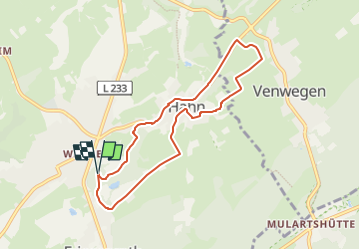

15,5 km | 19,8 km-effort


Tous les sentiers balisés d’Europe GUIDE+


Aplicación GPS de excursión GRATIS
 SityTrail
IGN / Institutos geográficos
SityTrail World
El mundo es suyo
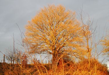
Ruta A pie de 6,9 km a descubrir en Renania del Norte-Westfalia, Städteregion Aachen, Aquisgrán. Esta ruta ha sido propuesta por SityTrail - itinéraires balisés pédestres.
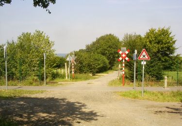
vor Ort nicht als "6" gekennzeichnet, wurde wohl lediglich pro forma in das Routennetz aufgenommen
Symbol: schwarzer Bogen auf weißem Grund


Senderismo

Senderismo
Senderismo
Senderismo
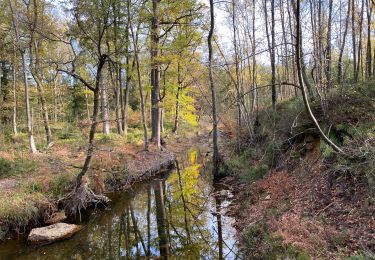
A pie
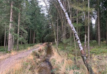
A pie
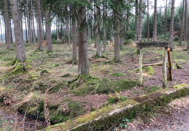
A pie
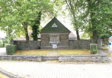
A pie