


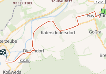

6,6 km | 7,9 km-effort

Tous les sentiers balisés d’Europe GUIDE+


Aplicación GPS de excursión GRATIS
 SityTrail
IGN / Institutos geográficos
SityTrail World
El mundo es suyo
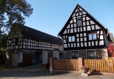
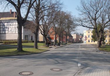
Ruta A pie de 6,1 km a descubrir en Sajonia-Anhalt, Burgenlandkreis, Wetterzeube. Esta ruta ha sido propuesta por SityTrail - itinéraires balisés pédestres.
Trail created by Naturpark Saale-Unstrut-Triasland.
Sitio web: http://www.naturpark-saale-unstrut.de/de/


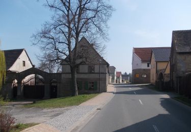
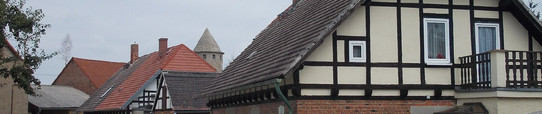
A pie
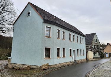
A pie
A pie
A pie

A pie

A pie