


4 km | 5 km-effort

Tous les sentiers balisés d’Europe GUIDE+


Aplicación GPS de excursión GRATIS
 SityTrail
IGN / Institutos geográficos
SityTrail World
El mundo es suyo
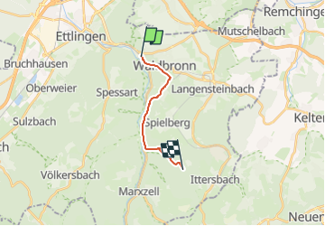
Ruta A pie de 9,6 km a descubrir en Baden-Wurtemberg, Landkreis Karlsruhe, Waldbronn. Esta ruta ha sido propuesta por SityTrail - itinéraires balisés pédestres.
Trail created by Schwarzwaldverein.
Symbol: Liegende gelbe Raute auf weißem Grund
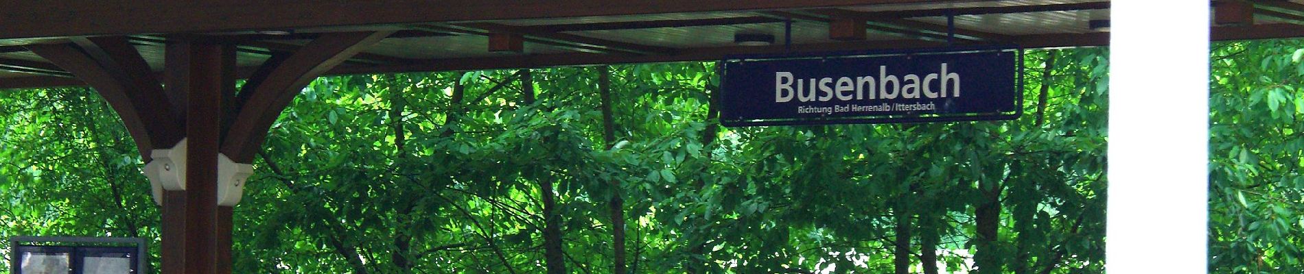
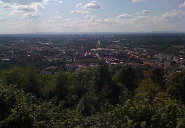
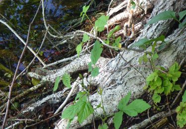
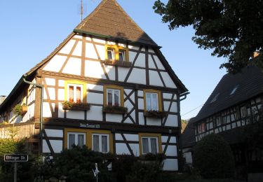
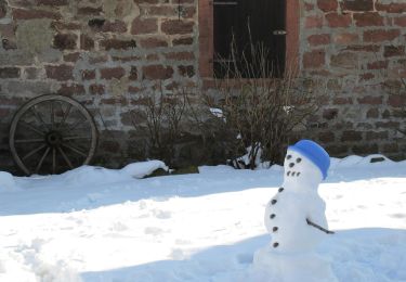
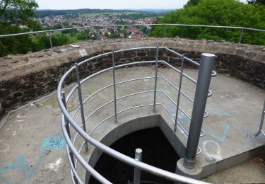
 - Ittersbach (Gewann Reichenbach) - Photo 1")
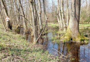
 - Ittersbach (Gewann Reichenbach) - Photo 2")
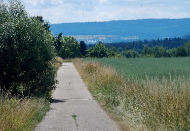
 - Ittersbach (Gewann Reichenbach) - Photo 3")
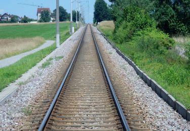
 - Ittersbach (Gewann Reichenbach) - Photo 4")
 - Ittersbach (Gewann Reichenbach) - Photo 5")
 - Ittersbach (Gewann Reichenbach) - Photo 6")
 - Ittersbach (Gewann Reichenbach) - Photo 7")
 - Ittersbach (Gewann Reichenbach) - Photo 8")
 - Ittersbach (Gewann Reichenbach) - Photo 9")
 - Ittersbach (Gewann Reichenbach) - Photo 10")
A pie
A pie
A pie
A pie
A pie
A pie
A pie
A pie

A pie