


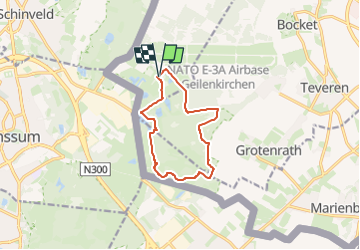

13 km | 15,3 km-effort

Tous les sentiers balisés d’Europe GUIDE+


Aplicación GPS de excursión GRATIS
 SityTrail
IGN / Institutos geográficos
SityTrail World
El mundo es suyo
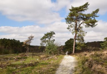
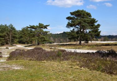
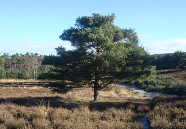
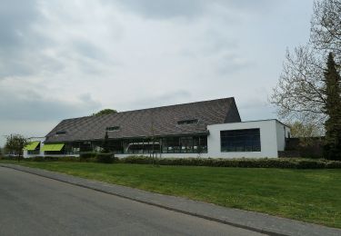
Ruta A pie de 9,1 km a descubrir en Renania del Norte-Westfalia, Kreis Heinsberg, Gangelt. Esta ruta ha sido propuesta por SityTrail - itinéraires balisés pédestres.
Trail created by Heinsberger Tourist-Service e.V..
Symbol: Vordergrund:gelber Balken Hintergrund:naturbelassenes Holz(grau)


Senderismo
Senderismo
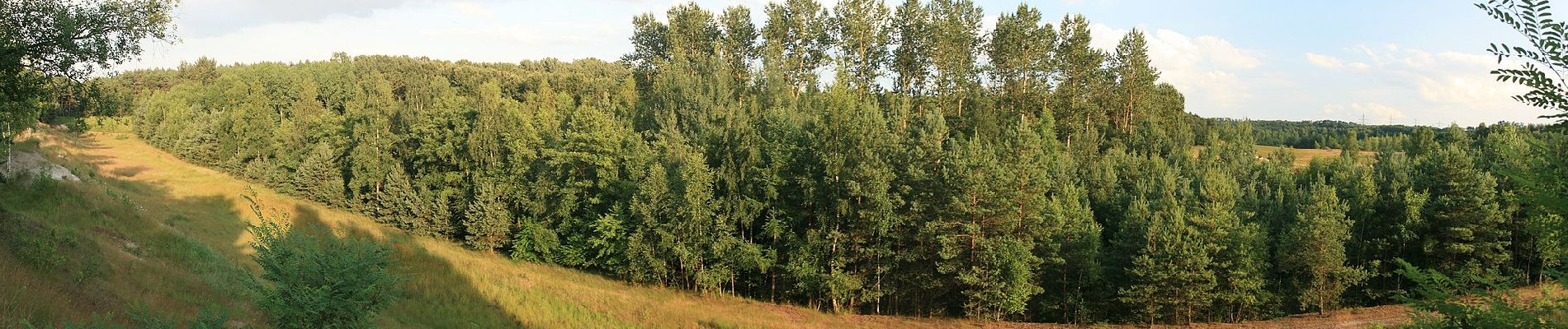
A pie
A pie
A pie
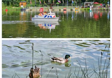
A pie
A pie
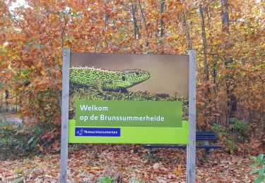
A pie
A pie