


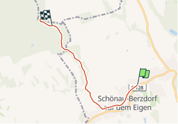

5,2 km | 8,3 km-effort

Tous les sentiers balisés d’Europe GUIDE+


Aplicación GPS de excursión GRATIS
 SityTrail
IGN / Institutos geográficos
SityTrail World
El mundo es suyo
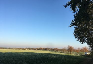
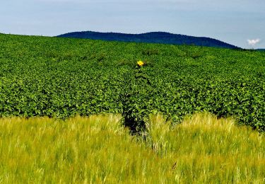
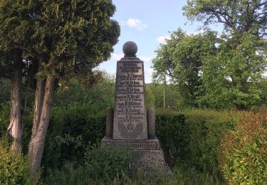
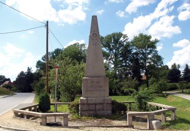
Ruta A pie de 4,8 km a descubrir en Sajonia, Görlitz, Schönau-Berzdorf auf dem Eigen. Esta ruta ha sido propuesta por SityTrail - itinéraires balisés pédestres.
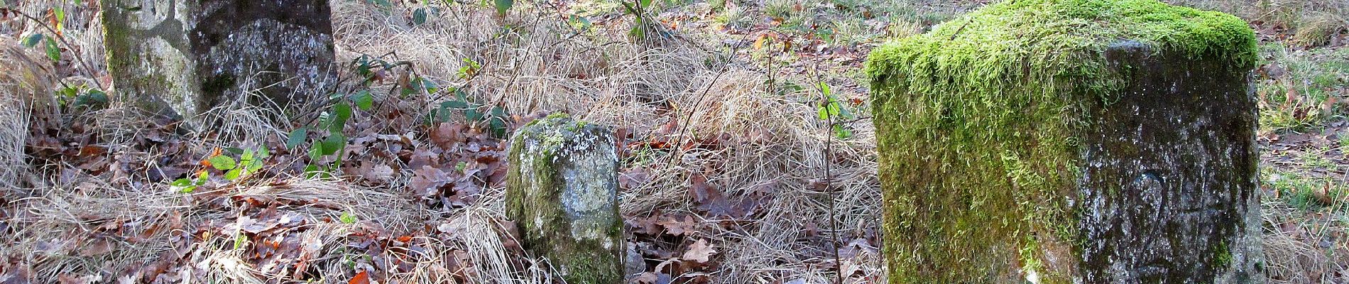
Symbol: gelber Balken auf weißem Grund


A pie
A pie
A pie
A pie
A pie
A pie
A pie
A pie
A pie