


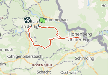

6,9 km | 7,9 km-effort

Tous les sentiers balisés d’Europe GUIDE+


Aplicación GPS de excursión GRATIS
 SityTrail
IGN / Institutos geográficos
SityTrail World
El mundo es suyo
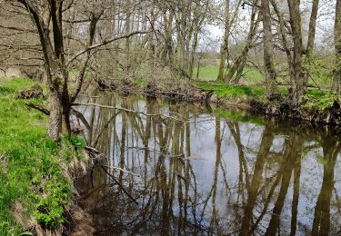
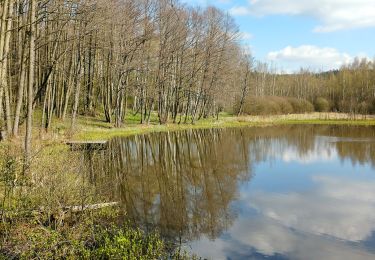
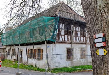
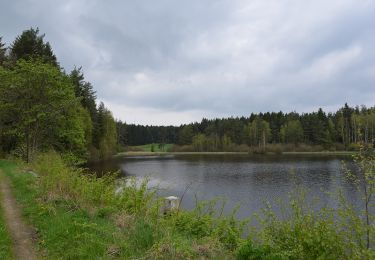
Ruta A pie de 10,9 km a descubrir en Baviera, Landkreis Wunsiedel im Fichtelgebirge, Hohenberg an der Eger. Esta ruta ha sido propuesta por SityTrail - itinéraires balisés pédestres.
Symbol: weiße 3 auf grünem Grund


A pie
A pie
A pie
A pie
A pie
A pie
![Excursión A pie Selb - 3 [Selb] - Photo](https://media.geolcdn.com/t/375/260/a65d9baa-5712-430b-ad9a-ce39442ae678.jpeg&format=jpg&maxdim=2)
A pie

A pie
A pie