


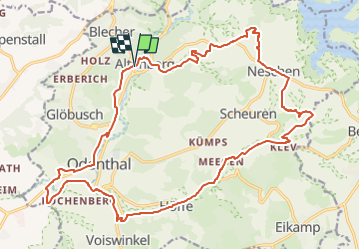

15,3 km | 18,6 km-effort

Tous les sentiers balisés d’Europe GUIDE+


Aplicación GPS de excursión GRATIS
 SityTrail
IGN / Institutos geográficos
SityTrail World
El mundo es suyo
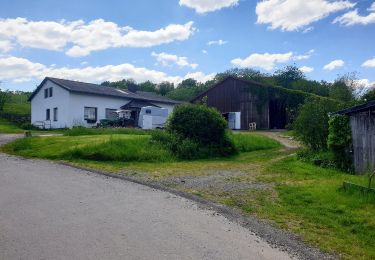
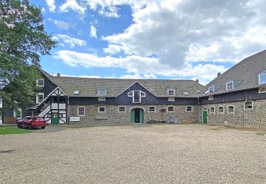
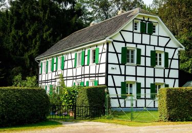
Ruta A pie de 22 km a descubrir en Renania del Norte-Westfalia, Rheinisch-Bergischer Kreis, Odenthal. Esta ruta ha sido propuesta por SityTrail - itinéraires balisés pédestres.
Trail created by Gemeinde Odenthal.
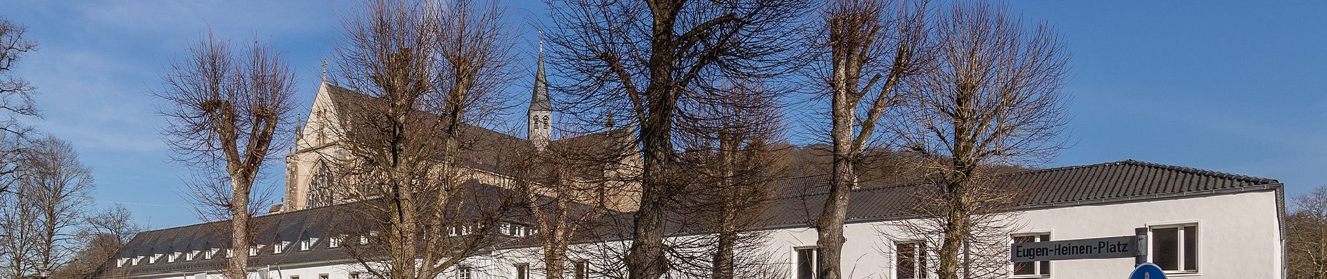
Symbol: weißes Mühlrad auf schwarzem Grund


A pie
A pie
A pie
A pie
A pie

A pie
A pie
A pie
A pie