

DE-roter Balken
SityTrail - itinéraires balisés pédestres
Tous les sentiers balisés d’Europe GUIDE+

Longitud
3,1 km

Altitud máxima
376 m

Desnivel positivo
88 m

Km-Effort
4,1 km

Altitud mínima
305 m

Desnivel negativo
37 m
Boucle
No
Baliza
Fecha de creación :
2022-02-11 14:18:50.718
Última modificación :
2022-02-11 14:18:50.718
55m
Dificultad : Fácil

Aplicación GPS de excursión GRATIS
A propósito
Ruta A pie de 3,1 km a descubrir en Turingia, Landkreis Weimarer Land, Kranichfeld. Esta ruta ha sido propuesta por SityTrail - itinéraires balisés pédestres.
Descripción
Wanderweg Roter Balken Raum Tannroda
Localización
País:
Germany
Región :
Turingia
Departamento/provincia :
Landkreis Weimarer Land
Municipio :
Kranichfeld
Localidad:
Unknown
Salida:(Dec)
Salida:(UTM)
655344 ; 5636916 (32U) N.
Comentarios
Excursiones cerca
Kranich-Rundwanderweg 1


A pie
Fácil
Kranichfeld,
Turingia,
Landkreis Weimarer Land,
Germany

7,7 km | 10,5 km-effort
2h 23min
Sí
Kranich-Rundwanderweg 2


A pie
Fácil
Kranichfeld,
Turingia,
Landkreis Weimarer Land,
Germany

14,1 km | 18,2 km-effort
4h 8min
Sí

Kranich-Rundwanderweg 5


A pie
Fácil
Kranichfeld,
Turingia,
Landkreis Weimarer Land,
Germany

11 km | 15,2 km-effort
3h 26min
Sí
Kranich-Rundwanderweg 4


A pie
Fácil
Kranichfeld,
Turingia,
Landkreis Weimarer Land,
Germany

11,7 km | 14,9 km-effort
3h 23min
Sí
grüner Balken Tannroda


A pie
Fácil
Bad Berka,
Turingia,
Landkreis Weimarer Land,
Germany

4,1 km | 5,6 km-effort
1h 15min
No
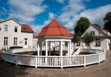
lokales Wegenetz Gelber Balken


A pie
Fácil
Kranichfeld,
Turingia,
Landkreis Weimarer Land,
Germany

12,8 km | 16,2 km-effort
3h 41min
No
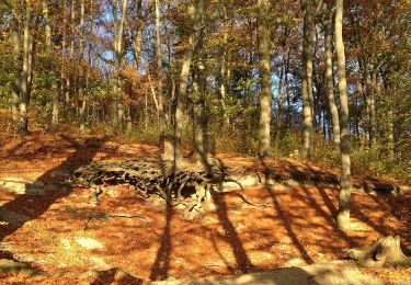
lokales Wegenetz Grüner Balken


A pie
Fácil
Klettbach,
Turingia,
Landkreis Weimarer Land,
Germany

8,7 km | 10,2 km-effort
2h 19min
No
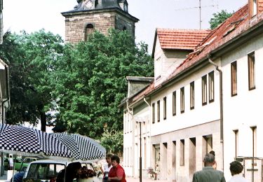
Förster-Brommer-Weg


A pie
Fácil
Bad Berka,
Turingia,
Landkreis Weimarer Land,
Germany

6,2 km | 8,3 km-effort
1h 53min
No

Prof.-Tegtmeier-Weg


A pie
Fácil
Bad Berka,
Turingia,
Landkreis Weimarer Land,
Germany

4,7 km | 5,9 km-effort
1h 20min
Sí


 SityTrail


