


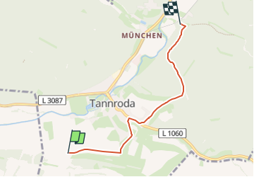

7,7 km | 10,5 km-effort

Tous les sentiers balisés d’Europe GUIDE+


Aplicación GPS de excursión GRATIS
 SityTrail
IGN / Institutos geográficos
SityTrail World
El mundo es suyo
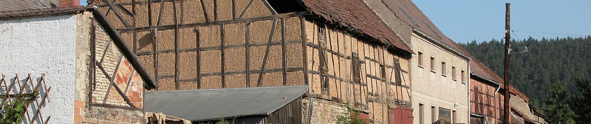
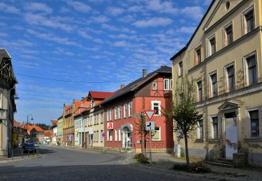
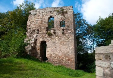
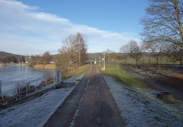
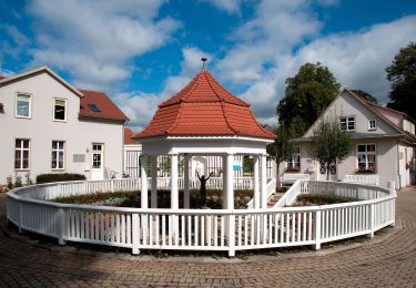
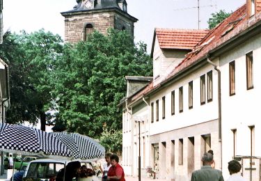
Ruta A pie de 4,1 km a descubrir en Turingia, Landkreis Weimarer Land, Bad Berka. Esta ruta ha sido propuesta por SityTrail - itinéraires balisés pédestres.
Wanderweg Grüner Balken Raum Tannroda


A pie
A pie
A pie
A pie
A pie
A pie
A pie

A pie