


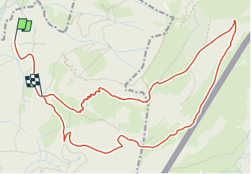

3,1 km | 4,7 km-effort

Tous les sentiers balisés d’Europe GUIDE+


Aplicación GPS de excursión GRATIS
 SityTrail
IGN / Institutos geográficos
SityTrail World
El mundo es suyo
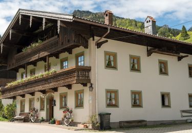
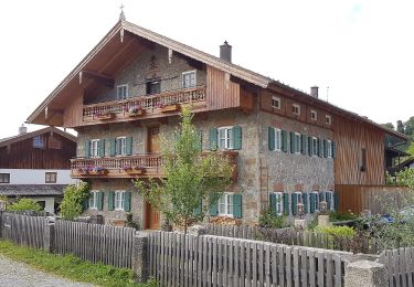
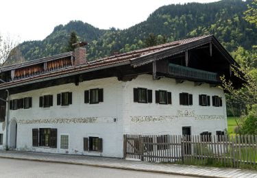
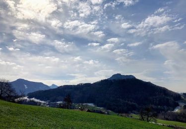
Ruta A pie de 6,4 km a descubrir en Baviera, Landkreis Rosenheim, Nußdorf am Inn. Esta ruta ha sido propuesta por SityTrail - itinéraires balisés pédestres.
Trail created by Gemeinden Neubeuern, Nußdorf, Samerberg.
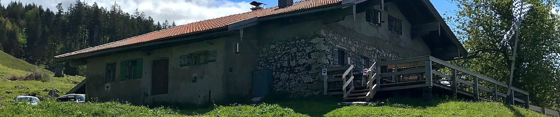
Symbol: Grüne Schilder mit weißer Zahl oder gelbe Blechschilder mit schwarzer Schrift


A pie
A pie
A pie
A pie
A pie
A pie

A pie

A pie
A pie