


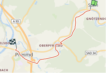

6,5 km | 9,5 km-effort


Tous les sentiers balisés d’Europe PRO


Aplicación GPS de excursión GRATIS
 SityTrail
IGN / Institutos geográficos
SityTrail World
El mundo es suyo
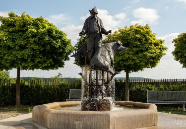
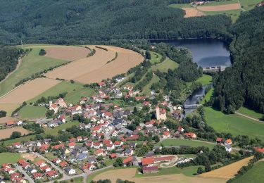
Ruta A pie de 5,2 km a descubrir en Baviera, Landkreis Schwandorf, Pfreimd. Esta ruta ha sido propuesta por SityTrail - itinéraires balisés pédestres.
Trail created by Oberpfälzer Waldverein.
Symbol: rote Kreisscheibe
Sitio web: https://www.owv-pfreimd.de/wanderwege.php


A pie

A pie
A pie
A pie
A pie
A pie
A pie
A pie
A pie