


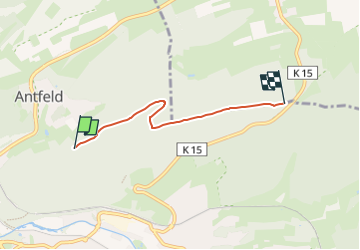

4,2 km | 5,9 km-effort


Tous les sentiers balisés d’Europe GUIDE+


Aplicación GPS de excursión GRATIS
 SityTrail
IGN / Institutos geográficos
SityTrail World
El mundo es suyo
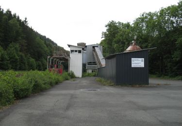
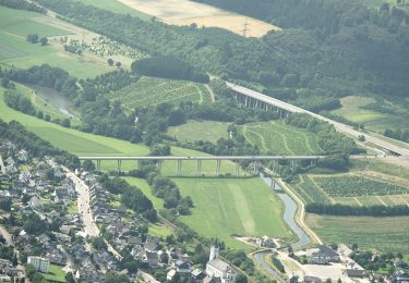
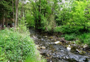
Ruta A pie de 3,3 km a descubrir en Renania del Norte-Westfalia, Hochsauerlandkreis, Olsberg. Esta ruta ha sido propuesta por SityTrail - itinéraires balisés pédestres.
Trail created by Sauerländischer Gebirgsverein.
Symbol: Weißes A2 auf schwarzem Grund
A pie
A pie
A pie
A pie
![Excursión A pie Brilon - [A4] Rundwanderweg](https://media.geolcdn.com/t/375/260/91e07af0-a187-47fd-99c0-715dc3f8b20c.jpeg&format=jpg&maxdim=2)
A pie
A pie
A pie

A pie
A pie