


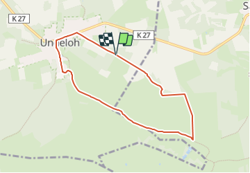

12,1 km | 14,2 km-effort


Tous les sentiers balisés d’Europe GUIDE+


Aplicación GPS de excursión GRATIS
 SityTrail
IGN / Institutos geográficos
SityTrail World
El mundo es suyo
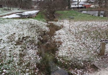
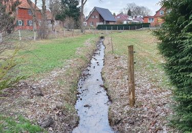
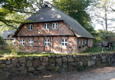
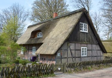
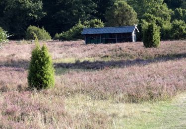
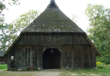
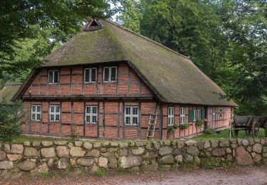
Ruta A pie de 6,5 km a descubrir en Baja Sajonia, Harburg, Undeloh. Esta ruta ha sido propuesta por SityTrail - itinéraires balisés pédestres.
Trail created by Verein Naturparkregion Lüneburger Heide e.V..
Sitio web: https://naturpark-lueneburger-heide.de/


A pie
A pie
A pie
A pie
A pie
A pie
A pie
A pie
A pie