


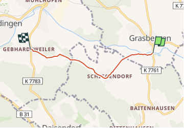

12,3 km | 15,6 km-effort

Tous les sentiers balisés d’Europe GUIDE+


Aplicación GPS de excursión GRATIS
 SityTrail
IGN / Institutos geográficos
SityTrail World
El mundo es suyo
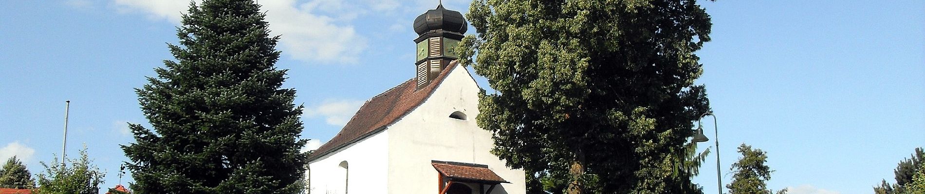
Ruta A pie de 3,6 km a descubrir en Baden-Wurtemberg, Bodenseekreis. Esta ruta ha sido propuesta por SityTrail - itinéraires balisés pédestres.
umfasst Gemeindegrenzen Meersburg, Daisendorf, Stetten, Hagnau, Immenstaad; ggf. weiter aufteilen


A pie
A pie
A pie
A pie
A pie

A pie
A pie
A pie

Senderismo