


4,5 km | 5 km-effort

Tous les sentiers balisés d’Europe GUIDE+


Aplicación GPS de excursión GRATIS
 SityTrail
IGN / Institutos geográficos
SityTrail World
El mundo es suyo
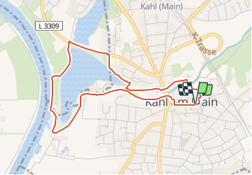
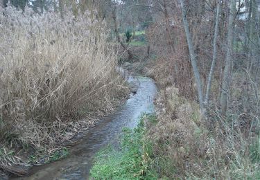
Ruta A pie de 4,2 km a descubrir en Baviera, Landkreis Aschaffenburg, Kahl am Main. Esta ruta ha sido propuesta por SityTrail - itinéraires balisés pédestres.
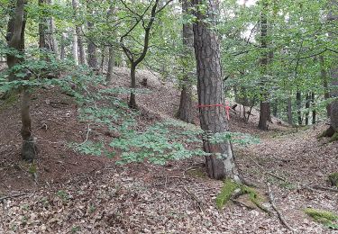
Trail created by Archäologisches Spessartprojekt.
Symbol: Gelbes EU-Schiffchen auf blauem Grund


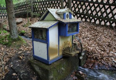
A pie
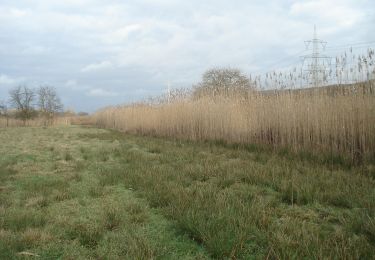
A pie
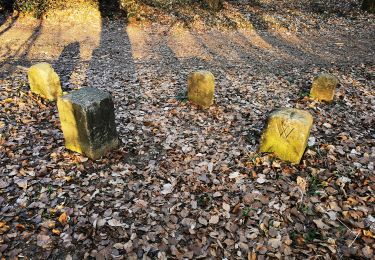
A pie
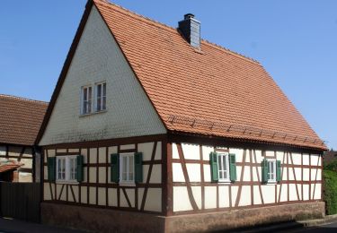
A pie
A pie
A pie
A pie
A pie
A pie