


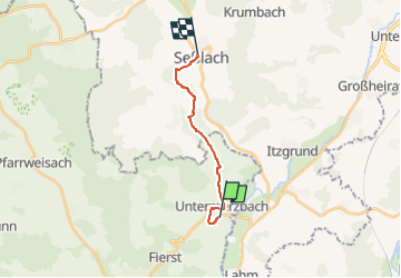

13,5 km | 16,8 km-effort

Tous les sentiers balisés d’Europe GUIDE+


Aplicación GPS de excursión GRATIS
 SityTrail
IGN / Institutos geográficos
SityTrail World
El mundo es suyo
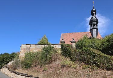
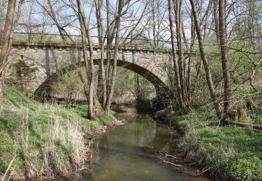
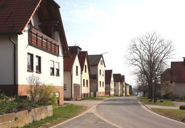
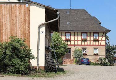
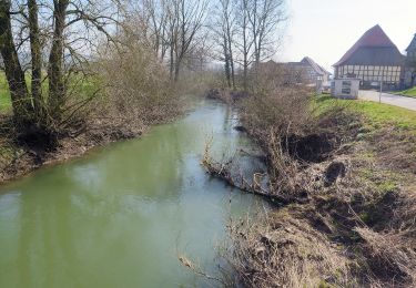
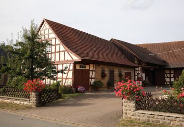
Ruta A pie de 10,8 km a descubrir en Baviera, Landkreis Haßberge, Untermerzbach. Esta ruta ha sido propuesta por SityTrail - itinéraires balisés pédestres.
Trail created by Landkreis Coburg.
Symbol: Violettes Alpha und Omega auf weißem Hintergrund


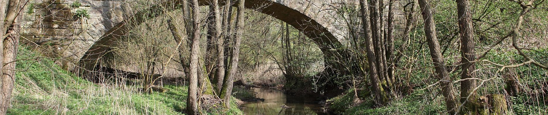
A pie
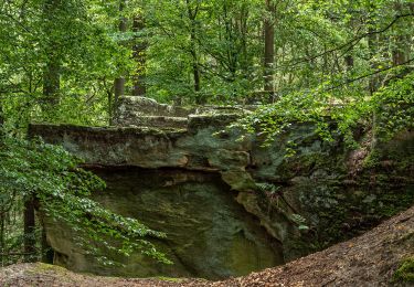
A pie
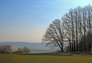
A pie
A pie
A pie
A pie
A pie
A pie
A pie