


5,7 km | 7,9 km-effort

Usuario


Aplicación GPS de excursión GRATIS
 SityTrail
IGN / Institutos geográficos
SityTrail World
El mundo es suyo
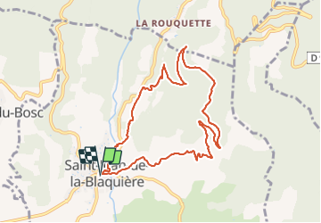
Ruta Marcha nórdica de 9,7 km a descubrir en Occitania, Hérault, Saint-Jean-de-la-Blaquière. Esta ruta ha sido propuesta por mdauzat.
Une boucle agréable par tout temps, propice à la marche nordique car empruntant, pour une large part, de belles pistes forestières.
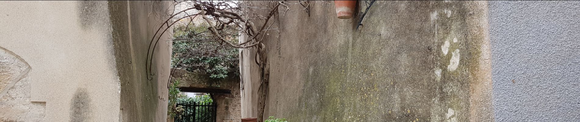
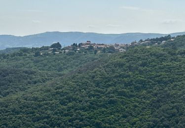
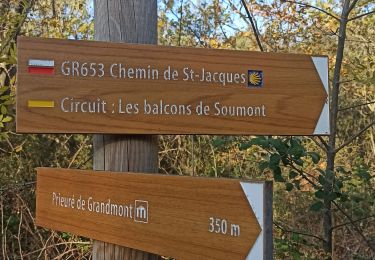
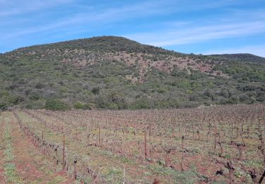
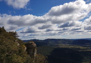
A partir du stationnement aménagé devant la mairie de Saint-Jean-de-la-Blaquière, ce parcours traverse d'abord ce village très pittoresque, avec ses petites rues et ses belles maisons de pierres. Après avoir brièvement longé puis traversé le ruisseau "La Catarenque", on monte progressivement vers "Tourrous" sur un sentier, pour avancer ensuite, sur la piste, vers "Les Oums" puis, en arrivant près du "Plan du Cayla", on prend à droite vers le "Bois de Latude". La piste progresse alors vers le sud, dans cette belle forêt, offrant de très belles vues sur les environs (la plaine, les villages, les reliefs). Elle redescend enfin vers "Les Costes" et "Le Bouis" avant de retraverser le ruisseau sur le pont de la route de Rabieux et rejoindre le point de départ. Un segment du parcours emprunte à nouveau un sentier qui, cette fois, suit de beaux murs de pierre dressées, séparant les champs, et chemine sur de larges dalles rocheuses mises à nu par le ruissellement.
Pas de difficulté particulière sur cette belle boucle où montée et descente sont régulières et raisonnables.


Senderismo

Senderismo

Senderismo

Senderismo

sport
Senderismo
Senderismo
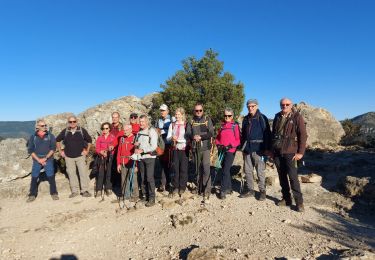
Marcha nórdica
Marcha nórdica