


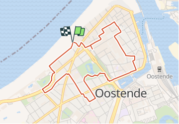

24 km | 26 km-effort


Tous les sentiers balisés d’Europe GUIDE+


Aplicación GPS de excursión GRATIS
 SityTrail
IGN / Institutos geográficos
SityTrail World
El mundo es suyo
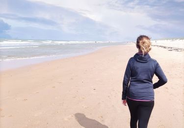
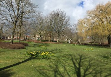
Ruta A pie de 4,5 km a descubrir en Flandes, Flandes Occidental, Ostende. Esta ruta ha sido propuesta por SityTrail - itinéraires balisés pédestres.
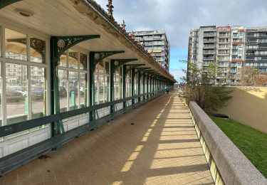
Een boeiende wandeling door een mondaine Stad aan Zee met rijk historisch verleden.


Senderismo
Senderismo
A pie
Senderismo
Senderismo
Senderismo
Senderismo
Senderismo

Senderismo