


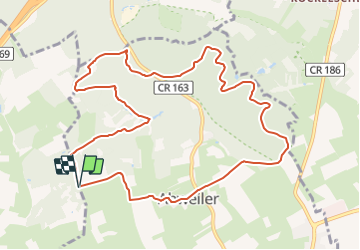

7,8 km | 10,5 km-effort

Tous les sentiers balisés d’Europe GUIDE+


Aplicación GPS de excursión GRATIS
 SityTrail
IGN / Institutos geográficos
SityTrail World
El mundo es suyo
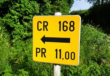
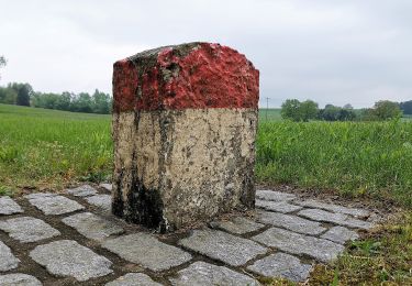
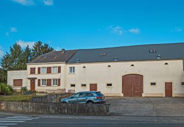
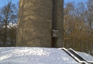
Ruta A pie de 10,7 km a descubrir en Desconocido, Canton Esch-sur-Alzette, Bettembourg. Esta ruta ha sido propuesta por SityTrail - itinéraires balisés pédestres.
Trail created by Ministère de l´Économie.
Sitio web: https://map.geoportail.lu/theme/tourisme?fid=176_3091194


A pie
Senderismo
A pie
A pie
A pie
A pie
A pie
A pie
A pie