


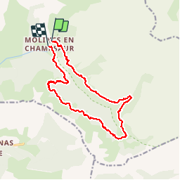


10,1 km | 16 km-effort

Usuario


Aplicación GPS de excursión GRATIS
 SityTrail
IGN / Institutos geográficos
SityTrail World
El mundo es suyo
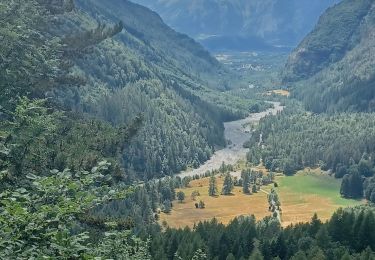
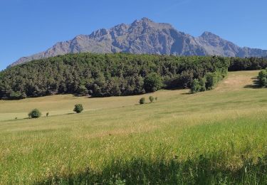
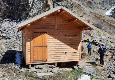
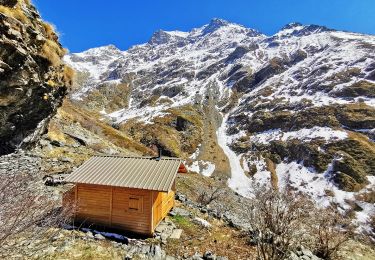
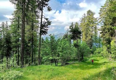
Ruta Senderismo de 17,5 km a descubrir en Provenza-Alpes-Costa Azul, Altos Alpes, La Motte-en-Champsaur. Esta ruta ha sido propuesta por Dervalmarc.
Très belle rando. Longue avec passage exposé à l'hubac en début de saison à cause de névés persistants.


Senderismo
Senderismo
Senderismo
Senderismo
Senderismo
Senderismo
Senderismo
Senderismo

Bici de montaña