


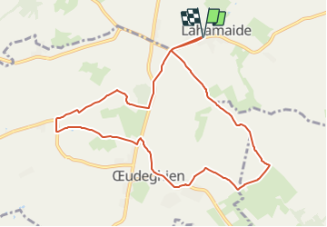

17,9 km | 22 km-effort


Randonnées du CGT GUIDE+


Aplicación GPS de excursión GRATIS
 SityTrail
IGN / Institutos geográficos
SityTrail World
El mundo es suyo
Ruta A pie de 9,2 km a descubrir en Valonia, Henao, Ellezelles. Esta ruta ha sido propuesta por Commissariat général au Tourisme.
Trail created by Wallonie Picarde (Antenne Tournai) .
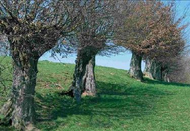
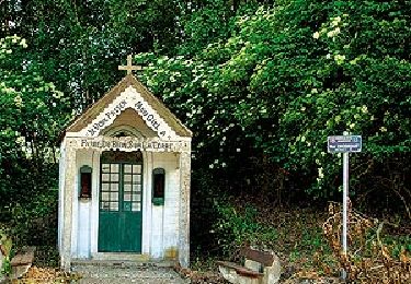
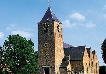
This rural walk is a nice getaway in the heart of the Pays des Collines, along encased dirt roads that connect Ostiches Lahamaide and Oeudeghien, three villages, each belonging to a different entity. The past, memory, folklore and nature encounter the walkers and lead them on a discovery of its present. The circuit allows you to guess the passage of the former vicinal steam tramway. At the end of the walk, stop at the tavern of the Ecomuseum to quench your thirst.Hike nodes : START 62-59-74-61-78-24-21-31-79-59-62 END


Senderismo
Senderismo
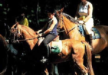
Caballo
A pie
A pie
A pie

A pie

A pie

Balade très agréable, pas trop de dénivelé, et avec de magnifiques points de vue.