


23 km | 27 km-effort


Randonnées du CGT GUIDE+


Aplicación GPS de excursión GRATIS
 SityTrail
IGN / Institutos geográficos
SityTrail World
El mundo es suyo
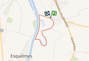
Ruta A pie de 2,2 km a descubrir en Valonia, Henao, Pecq. Esta ruta ha sido propuesta por Commissariat général au Tourisme.
Trail created by Wallonie Picarde (Antenne Tournai) .
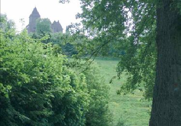
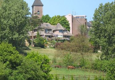
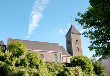
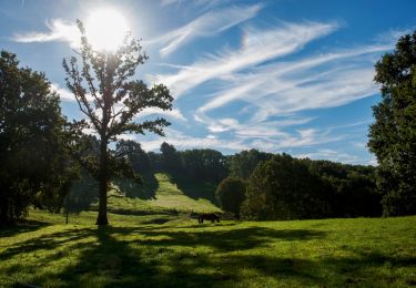
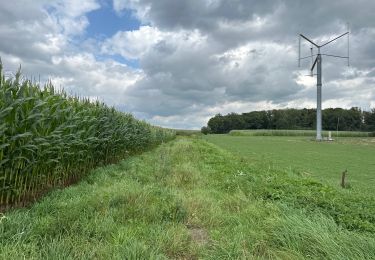
A stone’s throw from Tournai, this short trail crosses both a backwater of the Scheldt and the current river. Short, flat and easy, it is ideal for big and little people alike. While you walk, don’t forget to watch the surface of the water carefully: the mermaid of Léaucourt might appear. At the end of your stroll, take a moment to relax as a family and enjoy the hospitality of the Maison de Léaucourt. The cafe is open at the weekend.


Senderismo
Senderismo
A pie

Senderismo
Senderismo

Paseo ecuestre
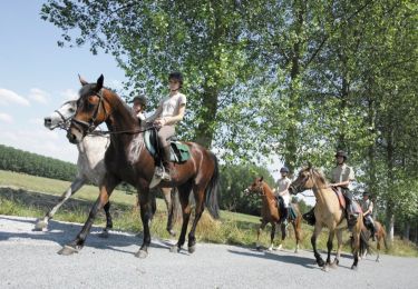
Caballo

Bici de montaña