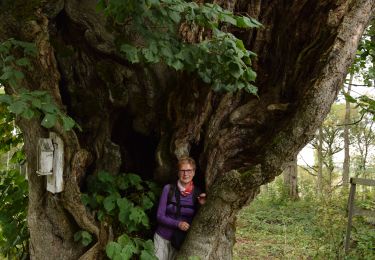
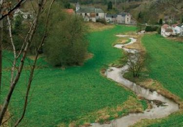
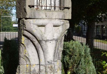
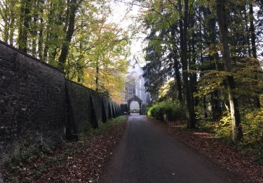
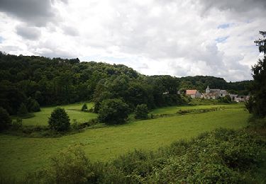
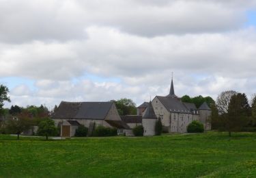
Excursión A pie Anhée - Beau chêne - Photo

Randonnées du CGT GUIDE+

© OpenStreetMap contributors
Longitud
Longitud
8,8 km
Altitud máxima
Altitud máxima
283 m
Desnivel positivo
Desnivel positivo
210 m
Km-Effort
Km-Effort  
11,6 km
Altitud mínima
Altitud mínima
180 m
Desnivel negativo
Desnivel negativo
210 m
Boucle
Boucle
Fecha de creación :
2022-02-08 11:31:21.819
Última modificación :
2022-02-21 10:12:42.412

(0 Opinión)

A pie
A pie
2h38
Dificultad : Fácil

Escanee este código QR para abrir la excursión en la aplicación SityTrail

Aplicación GPS de excursión GRATIS

Logo SityTrail SityTrail

IGN / Institutos geográficos

Descargar SityTrail en App Store Descargar SityTrail en Google Play

Logo SityTrail SityTrail World

El mundo es suyo

Descargar SityTrail en App Store Descargar SityTrail en Google Play Descargar SityTrail en Huawei AppGallery

A propósito

Ruta A pie de 8,8 km a descubrir en Valonia, Namur, Anhée. Esta ruta ha sido propuesta por Commissariat général au Tourisme.

Descripción

Trail created by Vallée de la Meuse Namur-Dinant.


Departure : Maredret Art Gallery.

At the end of the gallery, take the rue des Artisans to the right. At the crossroads, turn left onto rue Neuve Niole. Shortly after, take the rue des Laids Monts which goes up to the left to take you to the abbey of Maredret. At the next crossroads, don't go to the abbey of Maredsous, but turn right. At the next 4 arms, go straight on and enter the wood. At the Y, turn left. Leave the fork of the Chenoy farm on the left and continue towards the sources of Biert. Turn left along the wood. At the chapel of Chertin, turn right towards Biert le Roi. After 1Km, turn right towards the farm of the beautiful Oak that we bypass. At the T-junction, after 600m, leave the left branch which leads to the Beau Chêne castle and take to the right to return to the abbeys. But at the 4 arms, go down to the left and follow the enclosure of the abbey of Maredret. At the chapel Notre-Dame de Grâce, turn left, then, 200m later, a path to the right that goes back to the farm of the Cour. Turn right and go down to the starting point.


Perfil altimétrico

Localización

País:
Belgium
Región :
Valonia
Departamento/provincia :
Namur
Municipio :
Anhée
Localidad:
Unknown
Salida:(Dec)
Salida:(UTM)
624664 ; 5573551 (31U) N.

Excursiones cerca

Excursión Senderismo Mettet - RB-Na-23-Sur le plateau de l’Entre-Sambre-et-Meuse - Photo
Senderismo
PRO

Senderismo

Muy difícil
(8)
Mettet, Valonia, Namur, Belgium
24 km | 29 km-effort
6h 39min
Excursión Senderismo Anhée - RB-Na-22-raccourci_Vignobles-et-Jardins-d’eau - Photo
Senderismo
PRO

Senderismo

Muy difícil
(6)
Anhée, Valonia, Namur, Belgium
16,7 km | 21 km-effort
4h 52min
Excursión Senderismo Anhée - RB-Na-22_Vignobles-et-Jardins-d’eau - Photo
Senderismo
PRO

Senderismo

Muy difícil
(11)
Anhée, Valonia, Namur, Belgium
19,5 km | 25 km-effort
5h 46min
Excursión Senderismo Anhée - RB-Na-16 - Paysages de la Molignée - Photo
Senderismo
PRO

Senderismo

Medio
(19)
Anhée, Valonia, Namur, Belgium
18,3 km | 24 km-effort
5h 13min
Excursión Senderismo Mettet - RB-Na-23-racc-Sur le plateau de l’Entre-Sambre-et-Meuse - Photo
Senderismo
PRO

Senderismo

Difícil
(8)
Mettet, Valonia, Namur, Belgium
14 km | 16,7 km-effort
3h 47min
Excursión Senderismo Anhée - RB-Na-16 Raccourci - Paysages de la Molignée - Photo
Senderismo
PRO

Senderismo

Fácil
(17)
Anhée, Valonia, Namur, Belgium
13 km | 16,6 km-effort
3h 40min
Excursión Senderismo Anhée - Balade de l'abbaye de Maredsous à Ermeton-sur-Biert - Photo
Senderismo
GUIDE
Desrumaux

Senderismo

Fácil
(4)
Anhée, Valonia, Namur, Belgium
9,2 km | 11,9 km-effort
2h 32min
Excursión Senderismo Anhée - Sosoye - Circuit Natura 2000, des sites qui valent le détour - Na11 - Photo
Senderismo
GUIDE+

Senderismo

Medio
(6)
Anhée, Valonia, Namur, Belgium
4,9 km | 6,3 km-effort
1h 21min
Excursión Senderismo Anhée - Balade à Denée - Photo
Senderismo
GUIDE
Desrumaux

Senderismo

Muy fácil
(1)
Anhée, Valonia, Namur, Belgium
5,8 km | 7,4 km-effort
1h 35min


Cerrar
Mis suscripciones