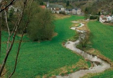

Bois de Warnant
Commissariat général au Tourisme
Randonnées du CGT GUIDE+


2h58
Dificultad : Fácil

Aplicación GPS de excursión GRATIS
A propósito
Ruta A pie de 10,1 km a descubrir en Valonia, Namur, Anhée. Esta ruta ha sido propuesta por Commissariat général au Tourisme.
Descripción
Trail created by Vallée de la Meuse Namur-Dinant.
Departure : Place de l'église de Warnant
Back to the church, take the street of Quincay.
At the war memorial, turn right onto the road to Bioul.
After 100m, neglect the "Moto Verte" stone path on the left.
After 50m, take the path on the left near the St-Joseph potale which passes in front of two houses and takes you up into the woods of the communal Aujes (toilets).
Other paths will join on your left then, at the exit of the wood, after 1Km, take the path on the left towards Bioul.
After 500m, when you meet a concrete road, turn right towards the farm of Bruant and after this one, turn left at the crossroads and go along the old quarry now exploited by the water company. Cross the next crossroads, where the Bon Dieu d'à Somme is located, in a straight line by the Préïsse street and reach the first houses.
To the left of house n°7, a small path on your right will lead you to the church of Bioul where there are some remarkable pieces of furniture.
At the main road, turn right towards Annevoie and walk along the park of the Vaxelaire castle. Notice the Moreau cross on your left. Leave the Warnant road on the right to take the next one on the right at the place called Crucifix.
At the next intersection, continue straight ahead towards the wood. Enter the wood in a straight line.
After 300m, the path splits into three trails. Take the one on the left, slightly downhill, which will lead you to the hamlet of Mossiat.
At the end of the wood, you go along the fence of the last house of Mossiat. Notice the nice fountain recently renovated.
Take then on your right the stony path. After having meandered between meadows and woods, the path turns slightly and goes up in the middle of the woods, ignoring the adjacent paths.
After passing over a small bridge, you go up 100m and arrive at the St Hubert chapel.
Take the path at the back left.
When you leave the wood after 1Km, in front of some crops, turn right to go up to Warnant.
At the first house, go down to the right by the street Esbrulets and follow it until the house n°13 or on the left of this one, you take the path on your right called Cossoux which will bring you directly to the street of the Fond.
Follow this street for 500m, then turn left into rue de Quincay to reach the church and your starting point.
Localización
Comentarios
Excursiones cerca

Senderismo


Senderismo


Senderismo


Senderismo


Senderismo


Senderismo


Senderismo


Senderismo


Senderismo


 SityTrail


