


11,5 km | 14,5 km-effort


Randonnées du CGT GUIDE+


Aplicación GPS de excursión GRATIS
 SityTrail
IGN / Institutos geográficos
SityTrail World
El mundo es suyo
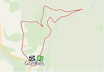
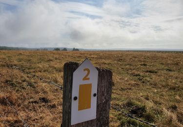
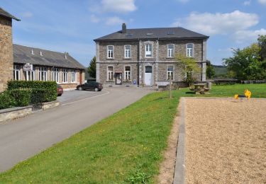
Ruta A pie de 5 km a descubrir en Valonia, Luxemburgo, Daverdisse. Esta ruta ha sido propuesta por Commissariat général au Tourisme.
Trail created by Pays de Bouillon en Ardenne.
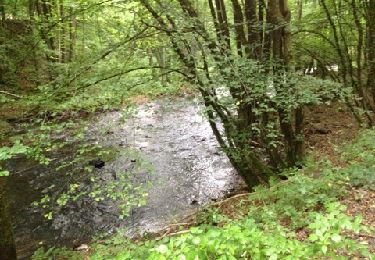
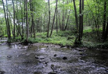
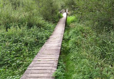
You walk out of the village through a quiet street before you turn onto a narrow forest path. While zigzagging through the forest you reach the Almache; an ideal place to take a break. The hike joins the PIC Vert for a part and then climbs up to the heights above the village. You'll be rewarded by a wide view on the rolling hills before quickly descending to the starting point of this varied hike.
Translated with www.DeepL.com/Translator (free version)


Senderismo
A pie

Senderismo

Senderismo
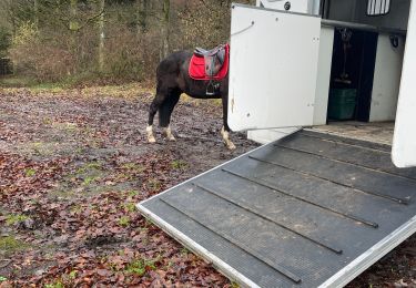
Paseo ecuestre
Senderismo
Senderismo
Senderismo
A pie