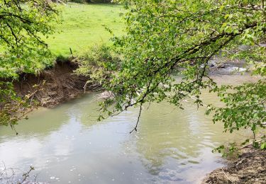
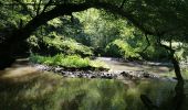
Excursión A pie Doische - Bonne Fontaine - Photo

Randonnées du CGT GUIDE+

© OpenStreetMap contributors
Longitud
Longitud
7,4 km
Altitud máxima
Altitud máxima
221 m
Desnivel positivo
Desnivel positivo
157 m
Km-Effort
Km-Effort  
9,5 km
Altitud mínima
Altitud mínima
138 m
Desnivel negativo
Desnivel negativo
158 m
Boucle
Boucle
Fecha de creación :
2022-02-08 11:22:53.071
Última modificación :
2022-02-21 10:04:09.309

(2 Opinión)

A pie
A pie
2h09
Dificultad : Fácil

Escanee este código QR para abrir la excursión en la aplicación SityTrail

Aplicación GPS de excursión GRATIS

Logo SityTrail SityTrail
IGN / Institutos geográficos

Descargar SityTrail en App Store Descargar SityTrail en Google Play

Logo SityTrail SityTrail World
El mundo es suyo

Descargar SityTrail en App Store Descargar SityTrail en Google Play Descargar SityTrail en Huawei AppGallery

A propósito

Ruta A pie de 7,4 km a descubrir en Valonia, Namur, Doische. Esta ruta ha sido propuesta por Commissariat général au Tourisme.

Descripción

Trail created by Pays des Lacs.


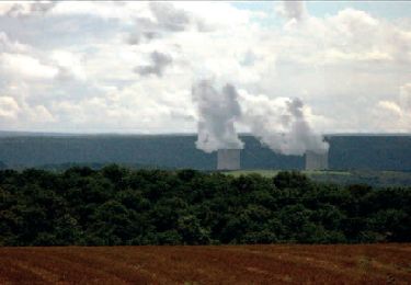
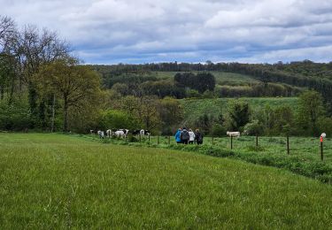
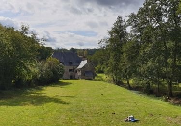
This walk leads you to the heart of the village of Soulme, one of the Most Beautiful Villages of Wallonia, which is perched atop a hill that overlooks the Hermeton valley. The buildings and farmhouses are made from limestone or covered with traditional whitewash and a slate roof. The majority of these date back to the 18th and 19th centuries. Rustic paths and trails will allow you to discover the edges of the Hermeton valley, as far as the Bonne Fontaine Chapel and nearby, the Moulin de Soulme mill, the existence of which can be traced back as far as the 15th century. The mill in its current form dates back to the 17th century. This walk has some quite steep parts, but they do not detract from the stunning viewpoints of the village of Soulme.


Perfil altimétrico

Fotos

Localización

País:
Belgium
Región :
Valonia
Departamento/provincia :
Namur
Municipio :
Doische
Localidad:
Unknown
Salida:(Dec)
Salida:(UTM)
624027 ; 5560915 (31U) N.

Comentarios

Por favor conéctese para dejar un comentario o una evaluación


Excursiones cerca

Excursión Senderismo Doische - RB-Na-11 La vallée de l’Hermeton - Photo
Senderismo
PRO

Senderismo

Medio
(4)
Doische, Valonia, Namur, Belgium
25 km | 31 km-effort
6h 40min
Excursión Senderismo Doische - RB-Na-11 Raccourci - La vallée de l’Hermeton - Photo
Senderismo
PRO

Senderismo

Medio
(5)
Doische, Valonia, Namur, Belgium
19,7 km | 25 km-effort
5h 22min
Excursión Senderismo Doische - De Gochenee vers Soulme par la vallee de l'Ermeton - Photo
Senderismo
GUIDE
Desrumaux

Senderismo

Medio
(1)
Doische, Valonia, Namur, Belgium
18,5 km | 24 km-effort
4h 40min
Excursión Senderismo Doische - Promenade à Vodelée - Photo
Senderismo
GUIDE
Desrumaux

Senderismo

Fácil
(1)
Doische, Valonia, Namur, Belgium
9,3 km | 11,4 km-effort
2h 15min
Excursión Senderismo Florennes - De Morville à Miavoye par le bois et le château de Fontaine - Photo
Senderismo
GUIDE
Desrumaux

Senderismo

Muy fácil
(4)
Florennes, Valonia, Namur, Belgium
7,5 km | 9,2 km-effort
2h 0min
Excursión Senderismo Onhaye - De Miavoye à Maurenne par le vallon de Féron - Photo
Senderismo
GUIDE
Desrumaux

Senderismo

Difícil
Onhaye, Valonia, Namur, Belgium
11,2 km | 14,3 km-effort
3h 15min
Excursión Senderismo Philippeville - Balade à Omezée - Photo
Senderismo
GUIDE
Desrumaux

Senderismo

Difícil
Philippeville, Valonia, Namur, Belgium
11,4 km | 14,2 km-effort
3h 13min
Excursión Senderismo Doische - La Boucle de l'Hermeton - Photo
Senderismo
GUIDE
Desrumaux

Senderismo

Difícil
Doische, Valonia, Namur, Belgium
19 km | 24 km-effort
2h 50min
Excursión Senderismo Doische - Promenade de la Bonne-Fontaine   - Photo
Senderismo
GUIDE+

Senderismo

Medio
(3)
Doische, Valonia, Namur, Belgium
7,3 km | 9,4 km-effort
2h 7min


Cerrar
Mis suscripciones