


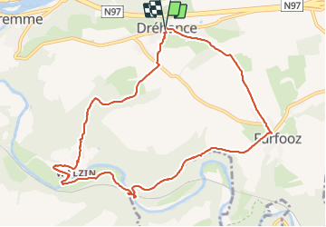


19,3 km | 26 km-effort

Usuario GUIDE


Aplicación GPS de excursión GRATIS
 SityTrail
IGN / Institutos geográficos
SityTrail World
El mundo es suyo
Ruta Senderismo de 9,8 km a descubrir en Valonia, Namur, Dinant. Esta ruta ha sido propuesta por Desrumaux.
Magnifique balade en val de Lesse au départ du village de Dréhance vers le village de Furfooz par le Chäteau de Walzin.

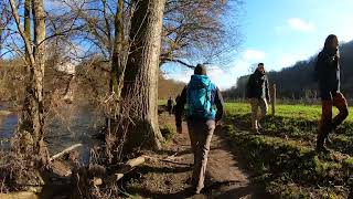


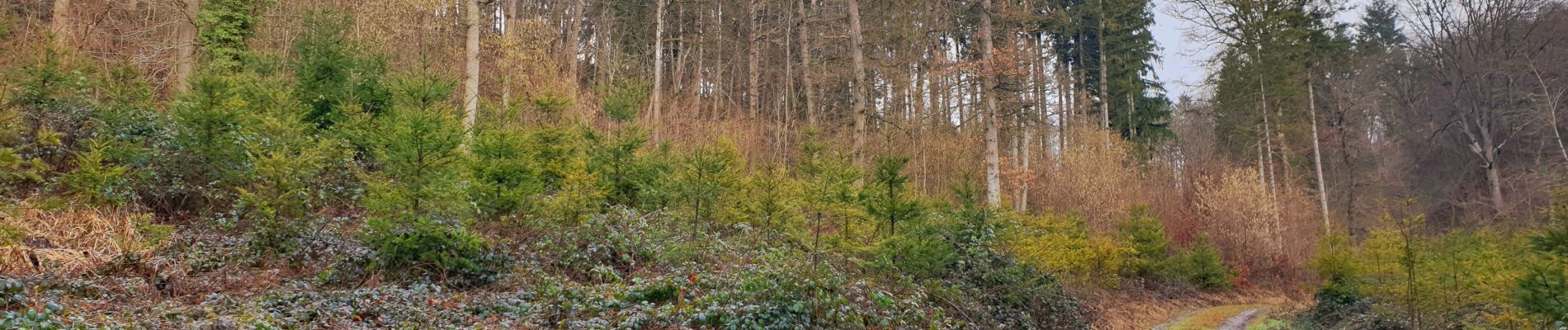
Senderismo

Senderismo

Senderismo

Senderismo

Senderismo

Senderismo

Senderismo

Senderismo

Senderismo