


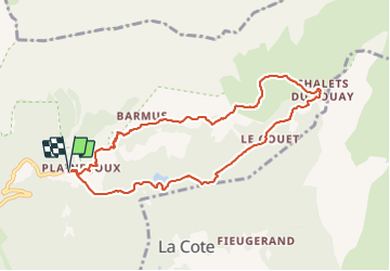

9 km | 14,3 km-effort

Usuario


Aplicación GPS de excursión GRATIS
 SityTrail
IGN / Institutos geográficos
SityTrail World
El mundo es suyo
Ruta Raquetas de nieve de 9 km a descubrir en Auvergne-Rhône-Alpes, Alta Saboya, Passy. Esta ruta ha sido propuesta por petole.
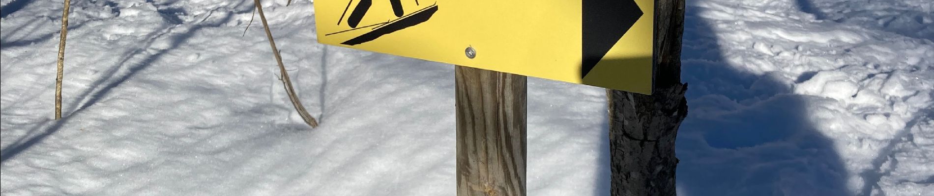
Boucle agréable avec un départ un peu raide suivi d’un itinéraire plus plat. Suivre les panneaux jaunes. L’arrêt casse croûte à Ayère pierrieres mérite la balade.


Senderismo

Senderismo

Senderismo

Senderismo

Senderismo

Carrera

Senderismo

Senderismo

Senderismo