


11,9 km | 20 km-effort


Usuario


Aplicación GPS de excursión GRATIS
 SityTrail
IGN / Institutos geográficos
SityTrail World
El mundo es suyo
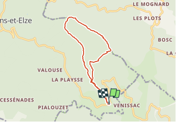
Ruta Senderismo de 7 km a descubrir en Occitania, Gard, Malons-et-Elze. Esta ruta ha sido propuesta por ganinette.
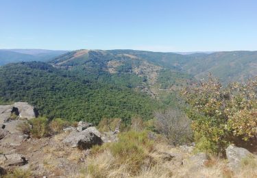
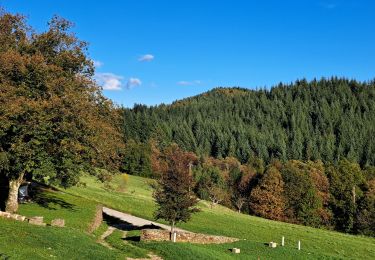
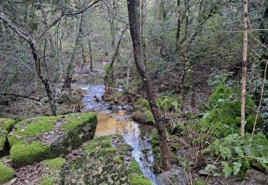
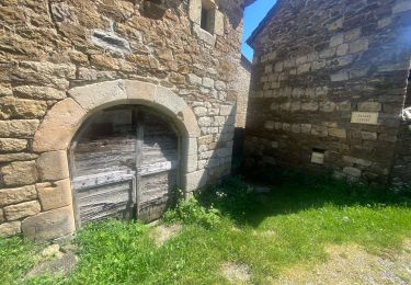
Montée dans les châtaigneraies le long des murailles de schiste en direction des crêtes du Serre de Barre. De là haut, le point de vue est très large vers Malarce et le plateau de Montselgues. La balade se termine par une courte visite du hameau du Frontal et de sa petite église au plafond en bois. Côté stats : 8 kilomètres avec un dénivelé positif cumulé de 370 mètres
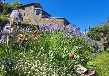
Senderismo
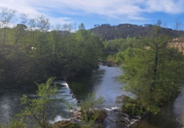
Senderismo

Senderismo
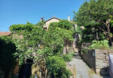
Senderismo
Senderismo

Senderismo
Senderismo
Senderismo
Senderismo