


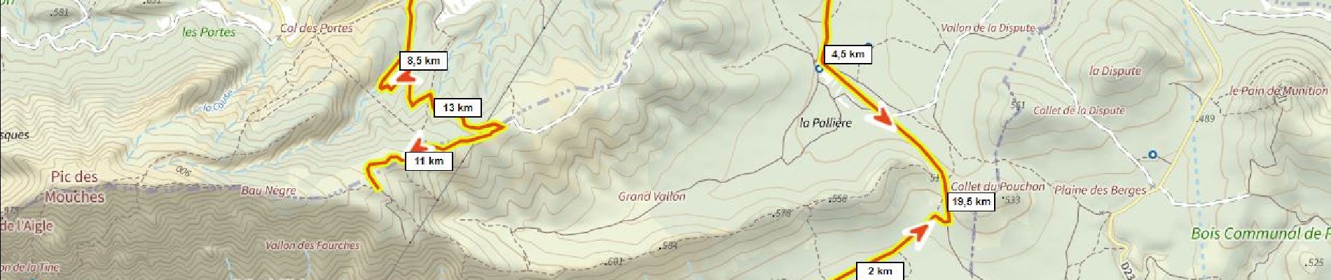
10 km | 19 km-effort

Usuario


Aplicación GPS de excursión GRATIS
 SityTrail
IGN / Institutos geográficos
SityTrail World
El mundo es suyo
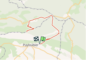
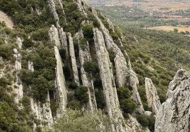
Ruta Bici de montaña de 22 km a descubrir en Provenza-Alpes-Costa Azul, Bocas del Ródano, Puyloubier. Esta ruta ha sido propuesta por ericberlin.
Chemins DFCI roulants non techniques.
Vues magnifiques.
Aller et retour par le même trajet.
Eviter de raccourcir par le chemin de Malivert complètement raviné en 2022 (cote 684m à 500m)


Senderismo

Senderismo

Senderismo

Senderismo

A pie

Senderismo
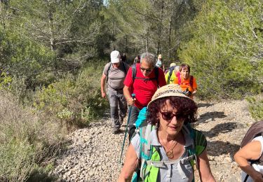
Senderismo
Senderismo
Senderismo