


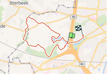

9,6 km | 11,6 km-effort

Usuario


Aplicación GPS de excursión GRATIS
 SityTrail
IGN / Institutos geográficos
SityTrail World
El mundo es suyo
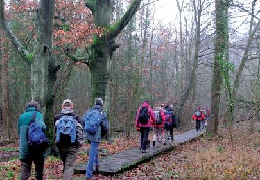
Ruta Senderismo de 8,2 km a descubrir en Région de Bruxelles-Capitale - Brussels Hoofdstedelijk Gewest, Desconocido, Anderlecht. Esta ruta ha sido propuesta por griffet.
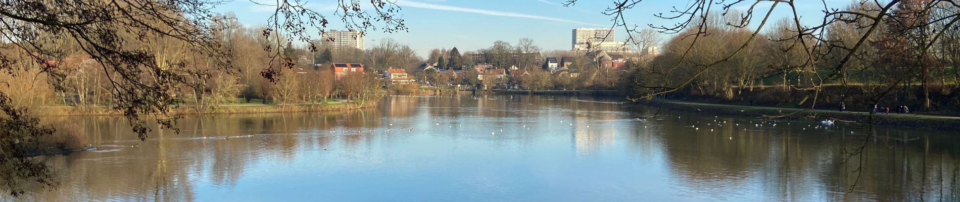
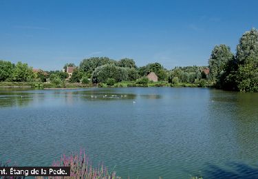
Un tour par tous les sports (ski, hockey, golf, rugby) et des Boulettes sauce tomate (à l’Appelboom)


Senderismo
Senderismo

Senderismo
Senderismo
Senderismo

Senderismo
Senderismo
Senderismo
Senderismo